Self-guided Sightseeing Tour #4 in Rio de Janeiro, Brazil
Legend
Guided Free Walking Tours
Book free guided walking tours in Rio de Janeiro.
Guided Sightseeing Tours
Book guided sightseeing tours and activities in Rio de Janeiro.
Tour Facts
6.3 km
235 m
Experience Rio de Janeiro in Brazil in a whole new way with our free self-guided sightseeing tour. This site not only offers you practical information and insider tips, but also a rich variety of activities and sights you shouldn't miss. Whether you love art and culture, want to explore historical sites or simply want to experience the vibrant atmosphere of a lively city - you'll find everything you need for your personal adventure here.
Activities in Rio de JaneiroIndividual Sights in Rio de JaneiroSight 1: Museu Histórico Nacional
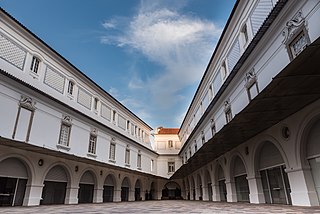
The National Historical Museum of Brazil was created in 1922, and possesses over 287,000 items, including the largest numismatic collection of Latin America. The architectural complex that houses the museum was built in 1603 as the St. James of Mercy Fort; earlier structures date back to 1567, erected by order of King Sebastian I of Portugal. In 1693, the Calaboose Prison, for slaves, was built. In 1762, the Casa do Trem was added as a depot of weapons and ammunition. The last additions are the War Arsenal (1764) and the Barracks (1835).
Wikipedia: National Historical Museum (Brazil) (EN), Website
Sight 2: Largo da Misericórdia
Largo da Misericórdia may refer to:Largo da Misericórdia, Elvas, in Portugal Largo da Misericórdia (Guimarães), in Portugal Largo da Misericórdia (Linhares), in Portugal Largo da Misericórdia (Monchique), in Portugal Largo da Misericórdia (Tavira) - in Portugal Largo da Misericórdia (Viseu) - in Portugal Largo da Misericórdia - in the central region of the city
Sight 3: Espaço Cultural da Marinha
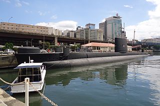
The Navy Cultural Space is a cultural center located in the Centro neighborhood, in the Central Zone of the city of Rio de Janeiro. With an exhibition area of about 1.1 thousand m², it is located on Orla Conde, between Largo da Candelária and Praça XV, subordinated to the Directorate of Historical Heritage and Documentation of the Navy.
Sight 4: Centro Cultural Correios
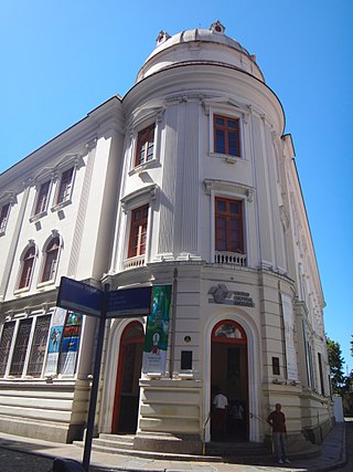
The Centro Cultural Correios Rio de Janeiro is located in the city center of Rio de Janeiro, Brazil.
Sight 5: Centro Cultural Banco do Brasil
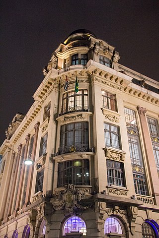
The Centro Cultural Banco do Brasil is a cultural organization of the Bank of Brazil based in Brazil with centers in Belo Horizonte, Brasília, Rio de Janeiro and São Paulo.
Sight 6: Casa França-Brasil
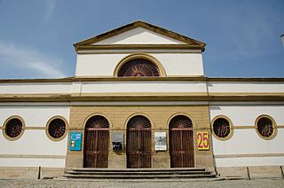
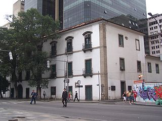
Casa França-Brasil is located in the historic center of Rio de Janeiro, in the state of the same name, in Brazil. This historic property is currently requalified as a cultural center. It is a national cultural heritage, listed by the National Historical and Artistic Heritage Institute (IPHAN), on May 24, 1938, under process No. 101-T-1938.
Sight 7: Igreja da Santa Cruz dos Militares
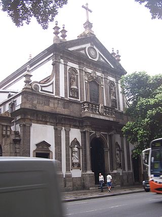
The Church of Santa Cruz dos Militares is a colonial church in the city of Rio de Janeiro that has the privilege of being added to the Vatican Basilica, since 1923, by Pope Pius XI. It is located in the center of the city, at Rua Primeiro de Março, 36.
Sight 8: Antigo Convento de Nossa Senhora do Carmo
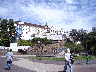
The Carmo Convent of Rio de Janeiro is located in Praça XV, in the center of the city. The current convent is located at Rua Morais e Vale, 1111. It was where the queen of Portugal Maria I died in 1816.
Sight 9: Igreja de Nossa Senhora do Monte do Carmo
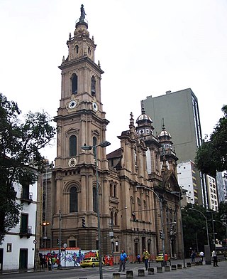
The Church of Our Lady of Mount Carmel of the Old Cathedral or Old Cathedral, as it is popularly known, is a parish of the Roman Catholic Church, located at Rua Sete de Setembro, nº 14 and Rua Primeiro de Março, in the historic center of Rio de Janeiro. It was the episcopal seat of the Archdiocese of São Sebastião do Rio de Janeiro until 1976, when the new Cathedral of São Sebastião do Rio de Janeiro was completed, which is why it is also referred to as the Old Cathedral.
Sight 10: Church of Our Lady of the Candelária
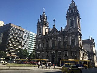
The Candelária Church is an important historical Roman Catholic church in the city of Rio de Janeiro, in southeastern Brazil. It was built and decorated during a long period, from 1775 to the late 19th century. The church combines a Portuguese colonial Baroque façade with later Neoclassical and Neo-Renaissance interior elements.
Sight 11: Largo de São Francisco de Paula
Largo de São Francisco de Paula is one of the oldest streets in the city of Rio de Janeiro, Brazil.
Sight 12: Real Gabinete Português de Leitura
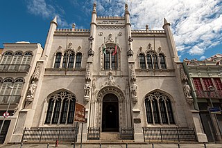
The Royal Portuguese Cabinet of Reading is a library and lusophone cultural institution, is located in Luís de Camões Street, number 30, in the center of the city of Rio de Janeiro, Brazil. It is listed by the State Institute of Cultural Heritage. Elected the fourth most beautiful library in the world by Time magazine, the Cabinet has the largest collection of Portuguese literature outside Portugal.
Wikipedia: Royal Portuguese Cabinet of Reading (EN), Website
Sight 13: Teatro João Caetano
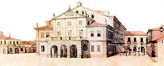
The João Caetano Theater is located in Tiradentes Square, in the Brazilian city of Rio de Janeiro. It offers 1,139 seats, including 605 in the audience, 117 in the noble balcony and 417 in the simple balcony. It is the oldest playhouse in the city.
Sight 14: Igreja de São Francisco de Paula
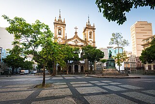
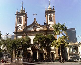
The Church of São Francisco de Paula is a Roman Catholic church located in Largo de São Francisco de Paula, in the historic center of the city of Rio de Janeiro, capital of the Brazilian state of Rio de Janeiro. It is one of the largest temples in the municipality.
Wikipedia: Igreja de São Francisco de Paula (Rio de Janeiro) (PT)
Sight 15: Morro de Santo Antônio
Morro de Santo Antônio is located in the center of the city of Rio de Janeiro, Brazil. It is accessed through Largo da Carioca.
Sight 16: Theatro Municipal
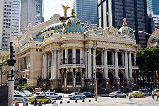
The Municipal Theater of Rio de Janeiro is one of the most important Brazilian theaters. It is located in Cinelândia, downtown Rio de Janeiro.
Sight 17: National Library
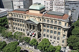
Get Ticket*The National Library of Brazil is the depository of the bibliographic and documentary heritage of Brazil. It is located in Rio de Janeiro, the capital city of Brazil from 1822 to 1960, more specifically at Cinelândia square.
Sight 18: Monumento a Marechal Deodoro da Fonseca
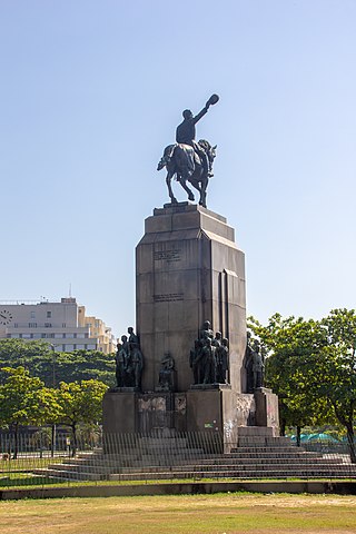
Monument to Marshal Deodoro da Fonseca is a monument in honor of Marshal Deodoro da Fonseca that is located in the city of Rio de Janeiro, Brazil. The monument dates from 1937 and houses the remains of Marshal Deodoro and his wife.
Sight 19: Passeio Público
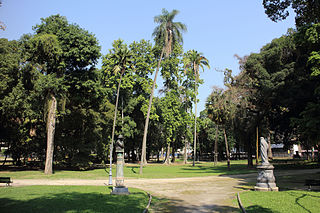
The Passeio Público is a public park in the historic centre of Rio de Janeiro, Brazil. Built after 1779, it is the oldest public park of Brazil and one of the oldest in the Americas.
Share
How likely are you to recommend us?
Disclaimer Please be aware of your surroundings and do not enter private property. We are not liable for any damages that occur during the tours.
GPX-Download For navigation apps and GPS devices you can download the tour as a GPX file.
