Self-guided Sightseeing Tour #8 in The Hague, Netherlands
Legend
Guided Free Walking Tours
Book free guided walking tours in The Hague.
Guided Sightseeing Tours
Book guided sightseeing tours and activities in The Hague.
Tour Facts
11.3 km
109 m
Experience The Hague in Netherlands in a whole new way with our free self-guided sightseeing tour. This site not only offers you practical information and insider tips, but also a rich variety of activities and sights you shouldn't miss. Whether you love art and culture, want to explore historical sites or simply want to experience the vibrant atmosphere of a lively city - you'll find everything you need for your personal adventure here.
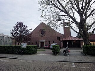
Activities in The HagueIndividual Sights in The HagueSight 1: Maranathakerk
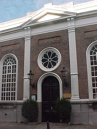
The Maranatha Church is a Dutch Reformed Church on the Tweede Sweelinckstraat in The Hague. The church was built in 1949 on a site that lay fallow due to demolition work for the Atlantic Wall, a defensive work of the Germans against possible Allied attacks in World War II. Maranata is a phrase in the New Testament, which means "Our Lord, Come!"
Sight 2: Christian Science
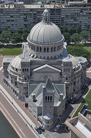
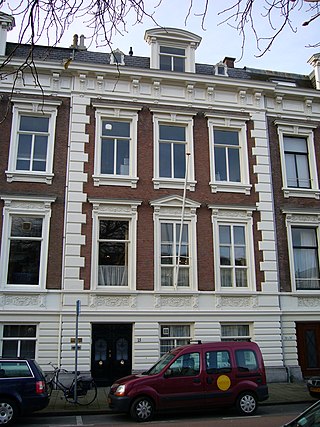
Christian Science is a set of beliefs and practices which are associated with members of the Church of Christ, Scientist. Adherents are commonly known as Christian Scientists or students of Christian Science, and the church is sometimes informally known as the Christian Science church. It was founded in 1879 in New England by Mary Baker Eddy, who wrote the 1875 book Science and Health with Key to the Scriptures, which outlined the theology of Christian Science. The book was originally called Science and Health; the subtitle with a Key to the Scriptures was added in 1883 and later amended to with Key to the Scriptures.
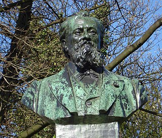
Sight 3: Richard Hol
The Richard Hol memorial was erected in 1906 in The Hague.
Sight 4: Thomaskerk

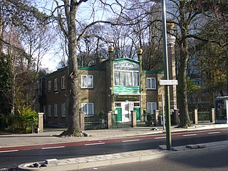
The Christian Community is a liberal and esoterically-oriented Christian denomination established in Germany in 1922 by Lutheran ministers influenced by Anthroposophy. As of 2023, it claims approximately 100,000 members in more than 400 congregations.
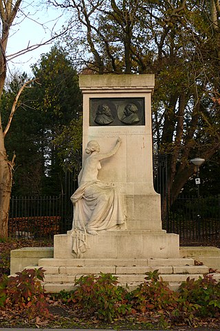
Sight 5: Gedenkmonument Jacob en Willem Maris
The Jacob and Willem Maris memorial was erected in 1916 in The Hague in memory of the Maris brothers, both painters of the Hague School.
Wikipedia: Gedenkmonument Jacob en Willem Maris (NL), Website
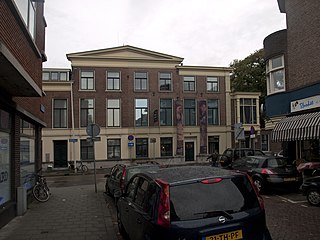
Sight 6: De Mesdag Collectie
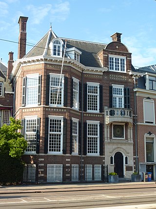
The Mesdag Collection is an art museum in The Hague, Netherlands. It is managed by the Van Gogh Museum.
Sight 7: Beeld en Geluid Den Haag
Sound & Vision in The Hague was a Dutch interactive museum about life in the media. It was located at Zeestraat 82 in The Hague. Until 2019, the museum was known as COMM, previously also as the Museum for Communication and as the PTT Museum. In 2019, the museum was taken over by the Hilversum Sound and Vision and was renamed Sound and Vision The Hague. In 2022, the Sound and Vision Foundation The Hague and the Netherlands Institute for Sound and Vision merged into 1 company, and continued under the name Sound & Vision.
Sight 8: Panorama Mesdag
Panorama Mesdag is a panorama by Hendrik Willem Mesdag. Housed in a purpose-built museum in The Hague, the panorama is a cylindrical painting more than 14 metres high and about 40 metres in diameter. From an observation gallery in the centre of the room the cylindrical perspective creates the illusion that the viewer is on a high sand dune overlooking the sea, beaches and village of Scheveningen in the late 19th century. A foreground of fake terrain around the viewing gallery hides the base of the painting and makes the illusion more convincing.
Sight 9: Nationaal Onafhankelijkheidsmonument
The National Monument on Plein 1813 in The Hague was unveiled in 1869 to commemorate the victory over Napoleon, the end of the French era in the Netherlands, the independence and the foundation in 1813 of the Sovereign Principality of the United Netherlands, the predecessor of the United Kingdom of the Netherlands and the current Kingdom of the Netherlands.
Sight 10: Vrijmetselarij Museum
The Cultural Masonic Centre 'Prins Frederik' (CMC) in The Hague, in the Dutch province of South Holland, is a museum, archive and library of the Order of Freemasons under the Grand Orient of the Netherlands. The center manages the collection that the Dutch Freemasons have assembled over more than 250 years.
Wikipedia: Cultureel Maçonniek Centrum 'Prins Frederik' (NL), Website
Sight 11: 'Haags Verzets- en Bevrijdingsmonument'
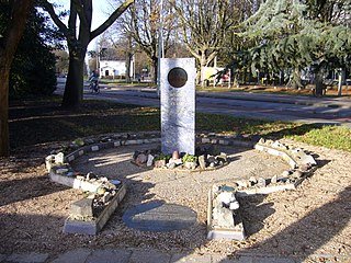
The Hague War Memorial 1940-1945 is a monument commemorating the Second World War opposite the Peace Palace on Carnegieplein in The Hague.
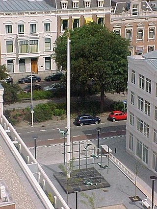
Sight 12: World Peace Flame
Get Ticket*The World Peace Flame is a burning flame in Wales since 1999. By spreading this flame worldwide, attention is drawn to world peace.
Sight 13: Van Karnebeekbron
The Van Karnebeek spring is a sandstone monument that commemorates the Carnegie Foundation and the opening of the Peace Palace in The Hague on 28 August 1913. It is a bench with fountain, is located on the corner of Scheveningseweg and Carnegielaan and consists of three parts. The curved middle part is higher than the two side parts and has a lion's head in the middle from which spring water comes out. A frieze with text runs along the entire length. Willem C. Brouwer (1877-1933), founder of the factory Brouwer's Aardewerk NV (1915-1956), made the monument.
Sight 14: Constantyn Huygens
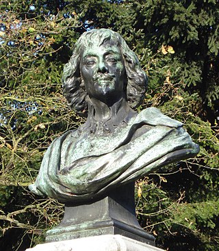
The memorial monument Constantijn Huygens was erected in Scheveningen in 1897.
Sight 15: Church of St. John & St. Philip
The Church of St. John and St. Philip, in short the English Church, is an Anglican church building on the Ary van der Spuyweg in The Hague. The priest's house is next door at the beginning of the Riouwstraat.
Wikipedia: Anglican Church of St. John and St. Philip (NL), Mapillary, Website
Sight 16: Scheveningse Bosjes

The Scheveningse Bosjes is an original dune area and now a park in the Scheveningen district. The park is bordered by the Scheveningseweg on the southwest side, the Kerkhoflaan on the southeast side and Madurodam on the north side. The Prof. B.M. Teldersweg cuts the forest in half from Madurodam to the Scheveningseweg. On the sea side there is a large pond, the Water Feature.
Sight 17: Nationaal Bahá'í-centrum
The first mentions of the Baháʼí Faith in the Netherlands were in Dutch newspapers which in 1852 covered some of the events relating to the Bábí movement which the Baháʼí Faith regards as a precursor religion. Circa 1904 Algemeen Handelsblad, an Amsterdam newspaper, sent a correspondent to investigate the Baháʼís in Persia. The first Baháʼís to settle in the Netherlands were a couple of families — the Tijssens and Greevens, both of whom left Germany for the Netherlands in 1937 as business practices were affected by Nazi policies. Following World War II the Baháʼís established a committee to oversee introducing the religion across Europe and so the permanent growth of the community in the Netherlands begins with Baháʼí pioneers arriving in 1946. Following their arrival and conversions of some citizens the first Baháʼí Local Spiritual Assembly of Amsterdam was elected in 1948, with around 11 Baháʼís in the country. By 1962, at the election of its first national spiritual assembly, there were 110 Baháʼís and nine local spiritual assemblies, by 1973 there were 365 Baháʼís and 16 spiritual assemblies, and by 1979 there were 525 Baháʼís and 27 spiritual assemblies. An estimate from 1997 put Baháʼís in The Netherlands at 1500. In 2005 the Netherlands had 34 local spiritual assemblies.
Sight 18: Vredeskapel
The Peace Chapel is a former church building of the Reformed Congregation in the Malakkastraat (Archipelbuurt) in The Hague. Since 2018, it has been converted into four residential units.
Sight 19: Damesleesmuseum
The Women's Reading Museum is a private library in The Hague, founded in 1894. It is the only surviving Dutch 'reading museum' for women and has a collection of more than 35,000 books. Since 1974, membership has also been open to men.
Sight 20: 'Bevrijdingsmonument Irene'
The Irene Monument is the liberation monument of The Hague.
Sight 21: 'Centraal Monument voor Gevallen PTT'ers'
Nassauplein is a long rectangular square in the Archipel neighbourhood in The Hague with only 43 house numbers. There used to be a moat, but it was covered over in 1883. At the beginning of the 20th century, the water was filled in. A small part is still covered and water from the Haagse Beek flows from the last part of Nassauplein under the Javatraat junction and with a waterfall the stream flows into the Willemspark and from there into the Singelgracht.
Sight 22: Bosje van Repelaer
In the 17th century, the Roosendoorn estate was a small estate just outside the canals of The Hague. It was located north of the current Frederikstraat.
Sight 23: Koningin Regentes Emma van Waldeck Pyrmont
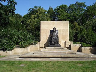
The Monument to Queen Emma is located in Benoordenhout in The Hague, in the Rosarium on Jozef Israëlsplein. The monument was erected in memory of the Dutch Queen Regent Emma (1858-1934).
Sight 24: Mubarak Mosque
The Mubarak Mosque in The Hague is the first purpose-built mosque in the Netherlands. Its foundation stone was laid by Sir Muhammad Zafarullah Khan on 20 May 1955 who later inaugurated the mosque on 9 December 1955.
Sight 25: Landgoed Oostduin en Arendsdorp
Arendsdorp is the remnant of an old estate and a country estate, located in the Benoordenhout protected cityscape in The Hague. A considerable part of the Benoordenhout district was built on parts that were withdrawn from this estate.
Sight 26: Sint Paschalis Baylon
The St. Paschalis Baylon Church on the Wassenaarseweg in The Hague was built between 1919 and 1921. The church is named after the Spanish saint Paschalis Baylon. The school in the neighborhood is named after the church.
Sight 27: Zonnewijzer
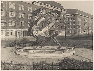
Sundial is a work of art by Albert Boeken in The Hague.
Sight 28: Landgoed Clingendael
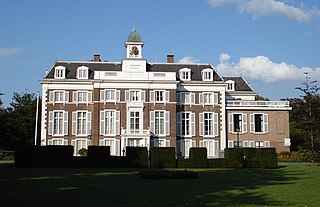
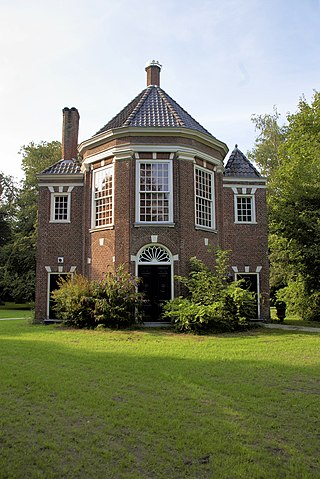
Clingendael is the name of a 17th-century manor house and surrounding parkland just outside The Hague, Netherlands, in the municipality of Wassenaar. Since 1982, it houses the Netherlands Institute of International Relations Clingendael.
Sight 29: Landgoed Oosterbeek
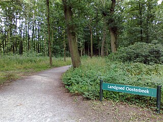
Oosterbeek is an estate on the territory of the municipality of Wassenaar, it has been owned by the municipality of The Hague since 1953.
Share
How likely are you to recommend us?
Disclaimer Please be aware of your surroundings and do not enter private property. We are not liable for any damages that occur during the tours.
GPX-Download For navigation apps and GPS devices you can download the tour as a GPX file.
