Self-guided Sightseeing Tour #2 in Delft, Netherlands
Legend
Guided Free Walking Tours
Book free guided walking tours in Delft.
Guided Sightseeing Tours
Book guided sightseeing tours and activities in Delft.
Tour Facts
3.1 km
30 m
Experience Delft in Netherlands in a whole new way with our free self-guided sightseeing tour. This site not only offers you practical information and insider tips, but also a rich variety of activities and sights you shouldn't miss. Whether you love art and culture, want to explore historical sites or simply want to experience the vibrant atmosphere of a lively city - you'll find everything you need for your personal adventure here.
Individual Sights in DelftSight 1: De Delftse Donderslag, 1654
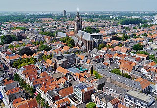
Delft is a city and municipality in the province of South Holland, Netherlands. It is located between Rotterdam, to the southeast, and The Hague, to the northwest. Together with them, it is a part of both the Rotterdam–The Hague metropolitan area and the Randstad.
Sight 2: Artilleriekazerne
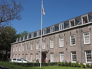
The Artillery Warehouse and Barracks are two structures on the horse market in the town of Delft, in the Dutch province of South Holland. Both objects are recognized as national monuments.
Sight 3: Hofje van Pauw
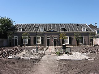
The Hofje van Pauw is one of the four remaining courtyards in the city of Delft, in the Dutch province of South Holland. There used to be seven courtyards. The Hofje was built in 1707 in accordance with the stipulation in the will of Elisabeth Pauw, the daughter of the mayor of Delft, Jacob Pauw, who died a year earlier. She was the widow of Johan van der Dussen and then of (nephew) Dirck van der Dussen, both also mayors.
Sight 4: Hofje van Gratie
Hofje van Gratie may refer to:Hofje van Gratie (Delft) Hofje van Gratie (Haarlem), a former almshouse in Haarlem Hofje van Gratie, a street in Krimpen aan den IJssel
Sight 5: Rapenbloembrug
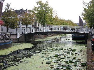
The Rapenbloembrug is a step bridge with a stone deck on iron girders, in the center of the Dutch city of Delft, province of South Holland. The bridge is a national monument. and was built in 1891.
Sight 6: Visbrug
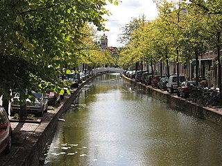
The Visbrug is an iron footbridge from the late 19th century, in Venetian-like neo-Renaissance forms, in the center of the Dutch city of Delft, province of South Holland. The bridge is located at the Voorstraat, and is a national monument.
Sight 7: Poelbrug
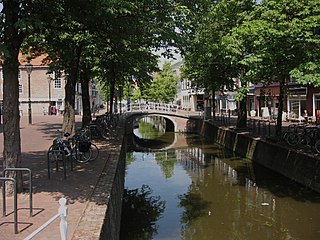
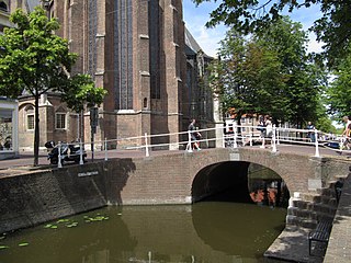
The Poel Bridge, in the Dutch province of South Holland, is a brick arch bridge in the center of Delft near the Oude Kerk. The bridge is a national monument and dates from the 18th century and bridges the water of the Voorstraat.
Sight 8: Hof van Delftsebrug
The Hof van Delftbrug is a brick arch bridge in the center of the Dutch city of Delft, province of South Holland. The bridge is a national monument and was built in the 18th century.
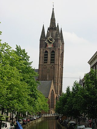
Sight 9: Old Church
The Oude Kerk, nicknamed Oude Jan and Scheve Jan, is a Gothic Protestant church in the old city center of Delft, the Netherlands. Its most recognizable feature is a 75-meter-high brick tower that leans about two meters from the vertical.
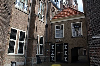
Sight 10: Het Prinsenhof
Het Prinsenhof is a museum in the city of Delft in the Netherlands. Formerly the monastery of St Agatha, the building changed purpose over time. The whole building came into the possession of Delft City Council by 1925, who gradually converted the building into a museum. Today, the museum shows a variety of art from Dutch Golden Age paintings, prints, cermaics and contemporary art.
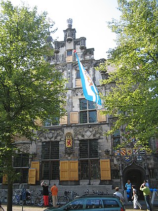
Sight 11: Gemeenlandshuis
The Gemeenlandshuis in Delft, in the Dutch province of South Holland, is the headquarters of the Delfland Water Board. The late Gothic house at Oude Delft 167 was built in 1505. The first owner was Jan de Heuyter, who was bailiff of Delft and bailiff of Delfland. He was also a tenant of excise duty on hops. The house was therefore also called "House with the bells" after the interior decoration with hop cones. Because of the collaboration of the De Huyter family with the Spaniards, they were evicted from their house in 1572 and the house was confiscated. Subsequently, the house provided temporary accommodation for the Hof van Holland before it was transformed into s Heeren Herberghe, a lodging house for important guests of the city and the States of Holland. Later, the building was the residence of Philip, Count of Hohenlohe who was married to Maria of Nassau, a daughter of William of Orange. Since 1645, the Delfland Water Board has been located there.
Sight 12: Waalse Kerk
The Walloon Church in the city of Delft, in the Dutch province of South Holland, was a monastery church of the former St. Agatha monastery, which is now known as the Prinsenhof.
Sight 13: STALPAERT van de WIELE
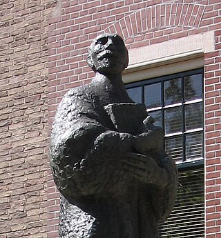
Johannes Stalpaert van der Wiele studied in Rome and Leuven and became a priest in Delft. In addition to the priesthood, he was a writer. He wrote hymns to saints. He was also an important writer of the Counter-Reformation, he wrote battle poems against the Reformed doctrine. He was buried in the Oude Kerk in Delft.
Sight 14: Oud-Katholieke Parochie van de HH Maria en Ursula
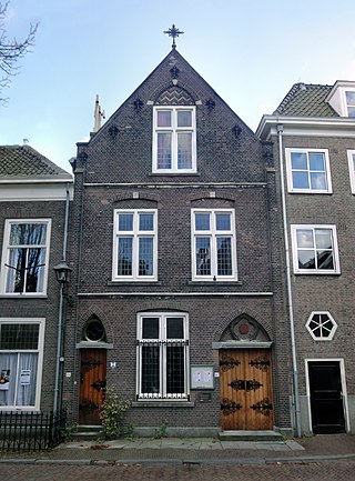
The HH. Maria en Ursulakerk is an old Catholic parish church at the Bagijnhof in the city of Delft, in the Dutch province of South Holland.
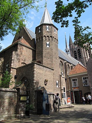
Sight 15: Bagijnetoren
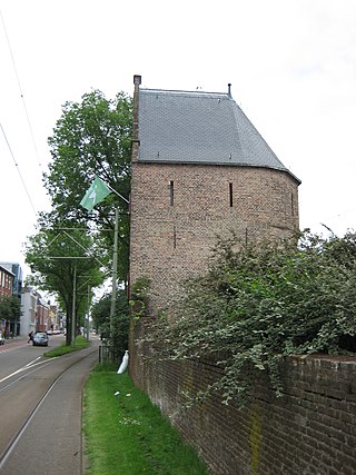
The Bagijne Tower in the city of Delft, in the Dutch province of South Holland, was originally built as a watchtower and was part of the reinforcement of the city walls of Delft. On 15 April 1246, the city of Delft was granted city rights and thus also acquired the right to build a wall around the city. The Bagijnetoren is a later addition to the fortifications that was probably built around the year 1500.
Sight 16: De Roos
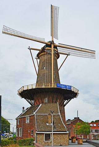
De Roos, also locally known as Roosmolen or Koren op de Molen, is a wind and platform mill situated within the municipality of Delft, in the South Holland province of the Netherlands.
Sight 17: Lutherse Kerk
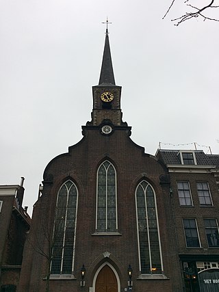
The Lutherse Kerk, also known as St. George's Chapel, is an 18th-century church in the Dutch city of Delft. The church's foundation was laid in the 15th or 16th centuries, with a wooden structure being built on top of it. This first wooden church burned down in 1536, and the city of Delft erected an armory where the church had stood. The armory was converted into the current Lutheran church in 1768, and a new stone facade and steeples where added to the existing building.
Sight 18: Lepelbrug
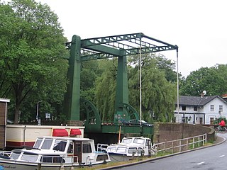
The Lepelbrug in the Dutch city of Delft, province of South Holland, is a bridge from 1929 over the Delftsche Vliet. The bridge forms a connection between the center of Delft and the site of the former Calvé factory and further on the main road to Rijswijk, 't Haantje, the Lange Kleiweg and the Jaagpad along the Delftsche Vliet.
Sight 19: Huetbank
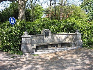
The Huetbank is a bench and memorial in Delft from 1901, in memory of Professor Adrien Huet.
Sight 20: Agnetapark
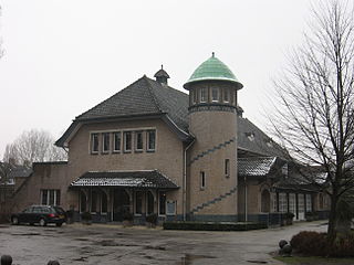
Agnetapark was an area of workers' housing in Delft, South Holland, the Netherlands. It was one of the highest quality workers' housing areas built before the Housing Act of 1902 was imposed. It was 'transformed' from a marshy 4 hectares area of land to a 'paradise' of industry. It is named after Agneta Matthes as she helped transform it.
Share
How likely are you to recommend us?
Disclaimer Please be aware of your surroundings and do not enter private property. We are not liable for any damages that occur during the tours.
GPX-Download For navigation apps and GPS devices you can download the tour as a GPX file.
