Self-guided Sightseeing Tour #3 in Heidelberg, Germany
Legend
Guided Free Walking Tours
Book free guided walking tours in Heidelberg.
Guided Sightseeing Tours
Book guided sightseeing tours and activities in Heidelberg.
Tour Facts
1.2 km
103 m
Experience Heidelberg in Germany in a whole new way with our free self-guided sightseeing tour. This site not only offers you practical information and insider tips, but also a rich variety of activities and sights you shouldn't miss. Whether you love art and culture, want to explore historical sites or simply want to experience the vibrant atmosphere of a lively city - you'll find everything you need for your personal adventure here.
Activities in HeidelbergIndividual Sights in HeidelbergSight 1: Schlossgarten

The Hortus Palatinus, or Garden of the Palatinate, was a Baroque garden attached to Heidelberg Castle, Germany. The garden was commissioned by Frederick V, Elector Palatine in 1614 for his new wife, Elizabeth Stuart, and became famous across Europe during the 17th century for the landscaping and horticultural techniques involved in its design. At the time it was known as the 'Eighth Wonder of the World', and has since been termed 'Germany's greatest Renaissance garden.'
Sight 2: Heidelberg Castle
Get Ticket*
Heidelberg Castle is a ruin in Germany and landmark of Heidelberg. The castle ruins are among the most important Renaissance structures north of the Alps.
Sight 3: Deutsches Apotheken-Museum

The German Pharmacy Museum in Heidelberg is a German museum dedicated to the history of pharmacy. It has extensive collections whose exhibits span the entire German-speaking world from antiquity to the 21st century. It is located in Heidelberg Castle.
Sight 4: Karmeliterkloster Heidelberg

The Carmelite monastery of Heidelberg was a convent of the Carmelites, with a church and monastery building, in Heidelberg. The church, which is no longer preserved, served, among other things, as the burial place of the ruling house of the Wittelsbachs.
Sight 5: Haus Buhl
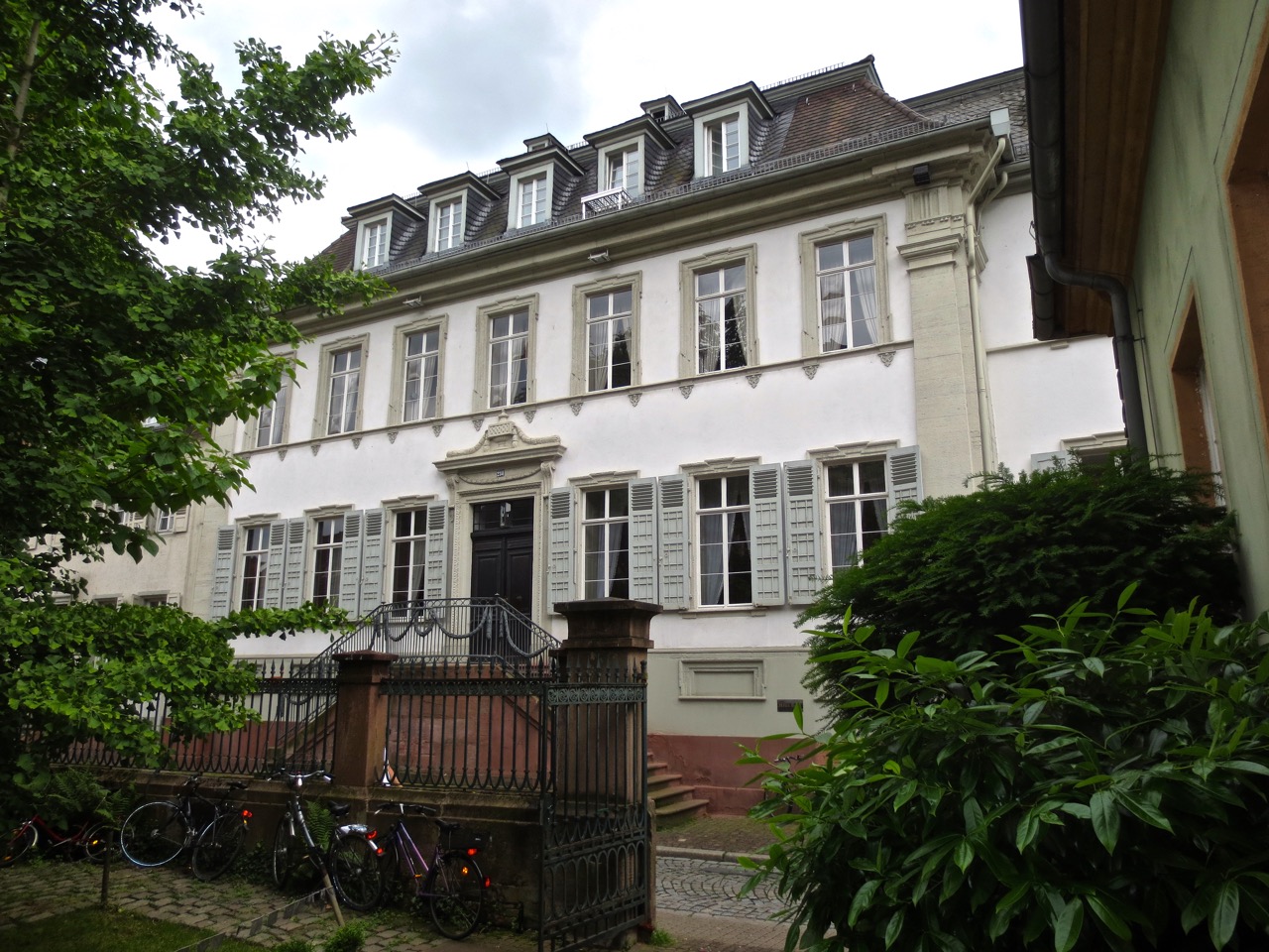
Haus Buhl is a listed building in Heidelberg's old town near the eastern entrance to the city.
Share
How likely are you to recommend us?
Disclaimer Please be aware of your surroundings and do not enter private property. We are not liable for any damages that occur during the tours.
GPX-Download For navigation apps and GPS devices you can download the tour as a GPX file.