Self-guided Sightseeing Tour #18 in Hanover, Germany
Legend
Tour Facts
4.6 km
48 m
Experience Hanover in Germany in a whole new way with our free self-guided sightseeing tour. This site not only offers you practical information and insider tips, but also a rich variety of activities and sights you shouldn't miss. Whether you love art and culture, want to explore historical sites or simply want to experience the vibrant atmosphere of a lively city - you'll find everything you need for your personal adventure here.
Activities in HanoverIndividual Sights in HanoverSight 1: Nazarethkirche
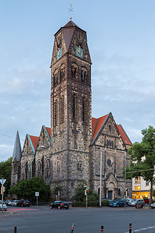
The Nazareth Church is one of two churches of the Evangelical Lutheran Südstadt parish in the Südstadt district of Hanover, Germany.
Wikipedia: Nazarethkirche (Hannover) (DE), Website, Heritage Website
Sight 2: Struckmeier-Brunnen
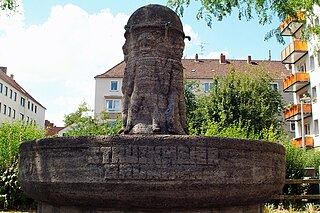
The Struckmeier Fountain in Hanover is a listed fountain in the Südstadt district. The location is the corner of Sallstraße and Kleine Düwelstraße.
Sight 3: Bethlehemskirche
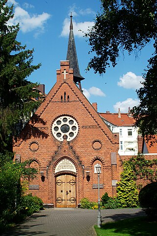
The Bethlehem Chapel in Hanover is a sacred building built at the end of the 19th century in Hanover's Südstadt, which is now a listed building. The building, built in 1887 at Große Barlinge 35, is set back from the street. The congregation, founded in 1885, belongs to the Independent Evangelical Lutheran Church.
Wikipedia: Bethlehemkapelle (Hannover) (DE), Website, Heritage Website, Youtube
Sight 4: Commedia Futura
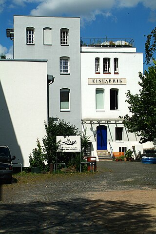
Commedia Futura is an independent theatre based in the Eisfabrik art and culture centre in the Südstadt district of Hanover. Since its founding in 1982, more than 50 experimental, multimedia in-house productions have been created. They use elements of spoken theatre as well as dance, music and video playbacks.
Sight 5: Constructa-Brunnen
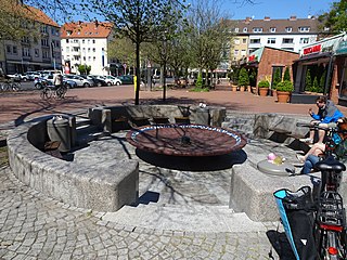
The Constructa Fountain in Hanover is a listed fountain on Wildermuthweg at the junction with Hildesheimer Straße. The square is an important place to stay and meet in front of the Constructa block of the same name, especially for young families with children.
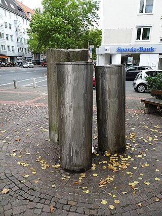
Sight 6: Schöner Brunnen
The Beautiful Fountain in Hanover is a fountain created in 1979 by the sculptor Hans-Jürgen Breuste. Installed as art in public space on the corner of Hildesheimer Straße and Freytagstraße in Hanover's Südstadt district, the artist arranged a granite column and two stainless steel columns from which water flows.
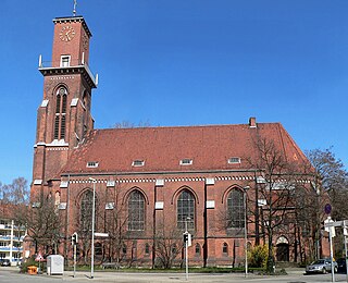
Sight 7: Pauluskirche
The Evangelical Lutheran St. Paul's Church in Hanover is a listed church building in the Südstadt district. It is located at the intersection of Meterstraße / Bürgermeister-Fink-Straße.
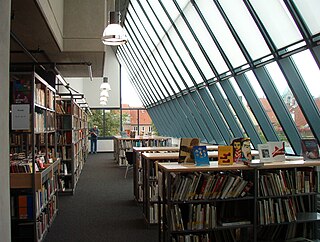
Sight 8: Stadtbibliothek Hannover
The Hanover City Library is a public library in Hanover, Germany. It includes the central city library on Hildesheimer Straße, 17 district libraries and a mobile library with a book bus. It is integrated into the Hanover city administration as the City Library Department in Department VII - Education and Culture.
Sight 9: Sprengel Museum
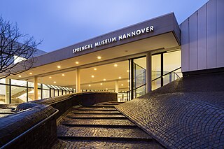
Sprengel Museum is a museum of modern art in Hanover, Lower Saxony, holding one of the most significant collections of modern art in Germany. It is located in a building situated adjacent to the Masch Lake approximately 150 metres (490 ft) south of the state museum. The museum opened in 1979, and the building, designed by Peter and Ursula Trint and Dieter Quast, was extended in 1992.
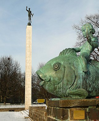
Sight 10: Fackelträger
The Torchbearer Column in Hanover is a listed stele with the figure of a torchbearer. The location is the north shore of the Maschsee, on Kurt-Schwitters-Platz named after Kurt Schwitters in the Hanover district of Südstadt.
Sight 11: Ehrenfriedhof am Maschsee-Nordufer
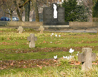
The Cemetery of Honour on the north shore of the Maschsee in Hanover is a listed cemetery created in 1945 in honour of a total of 526 prisoners of war and concentration camp prisoners of various nationalities, including 154 citizens of the former Soviet Union, who were murdered on 6 April 1945 by members of the Gestapo headquarters in Hanover. While these crimes committed by the Nazis at the end of the war were intended to cover up injustice and cruelty, the creation of the cemetery of honour on the Arthur-Menge-Ufer on the north shore of the Maschsee was deliberately chosen as a central inner-city location behind the New Town Hall for commemoration.
Sight 12: Maschpark
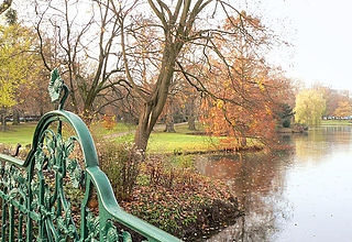
The Maschpark in Hanover's Mitte district is a 10-hectare park south of the old town. It was built around 1900 and was the first municipal park in Hanover. The complex has not changed its original form and is a testimony to German garden art at the end of the 19th century. In the north, the Maschpark is bordered by the Friedrichswall. Between Maschteich and Friedrichswall, the New Town Hall was completed in 1913.
Share
How likely are you to recommend us?
Disclaimer Please be aware of your surroundings and do not enter private property. We are not liable for any damages that occur during the tours.
GPX-Download For navigation apps and GPS devices you can download the tour as a GPX file.
