Self-guided Sightseeing Tour #9 in Brussels, Belgium
Legend
Guided Free Walking Tours
Book free guided walking tours in Brussels.
Guided Sightseeing Tours
Book guided sightseeing tours and activities in Brussels.
Tour Facts
2.6 km
46 m
Experience Brussels in Belgium in a whole new way with our free self-guided sightseeing tour. This site not only offers you practical information and insider tips, but also a rich variety of activities and sights you shouldn't miss. Whether you love art and culture, want to explore historical sites or simply want to experience the vibrant atmosphere of a lively city - you'll find everything you need for your personal adventure here.
Activities in BrusselsIndividual Sights in BrusselsSight 1: Théâtre de Poche
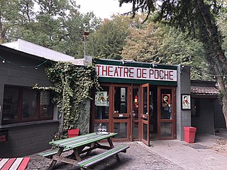
The Théâtre de Poche is a theatrical institution founded in Brussels in 1951 by Roger Domani (1926-1997) and Roland Ravez (1930-2017). It has been located at the entrance to the Bois de la Cambre since 1966. Initially experimental in its texts and forms, Théâtre de Poche has focused since the 1990s on a theatre devoted to social issues.
Sight 2: Église Notre-Dame du Rosaire - Onze-Lieve-Vrouw van de Rozenkranskerk
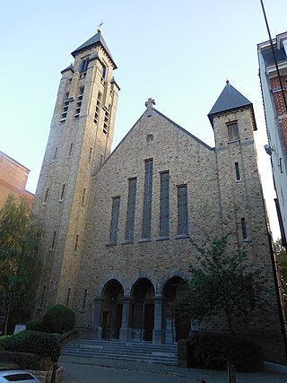
The Church of Our Lady of the Rosary is a church building in the Belgian municipality of Uccle in the Brussels-Capital Region. The church is located on the Montjoielaan in the northwest of the municipality of Uccle.
Wikipedia: Onze-Lieve-Vrouw van de Rozenkranskerk (Ukkel) (NL)
Sight 3: Parc Montjoie - Montjoiepark
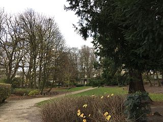
Montjoie Park is a public park in Uccle in the Brussels-Capital Region.
Sight 4: Gardens van Buuren
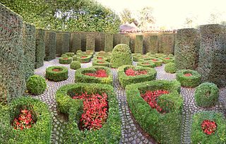
Designed by Jules Buyssens and René Pechère, the Van Buuren Garden surrounds the Alice and David van Buuren Museum located in Uccle, a municipality in Brussels, Belgium.
Sight 5: Van Buuren Museum & Gardens
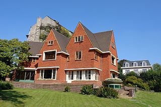
The Van Buuren Museum & Gardens are a former private house with extensive gardens, now a museum and park in Uccle, a municipality of Brussels, Belgium.
Sight 6: Parc Brugmann - Brugmannpark
The Brugmann Park is a public park in Uccle in the Brussels-Capital Region.
Share
How likely are you to recommend us?
Disclaimer Please be aware of your surroundings and do not enter private property. We are not liable for any damages that occur during the tours.
GPX-Download For navigation apps and GPS devices you can download the tour as a GPX file.
