Free Walking Sightseeing Tours in Stockholm, Sweden
Legend
Self-guided Tours
Paid Tours & Activities
Guided Free Walking Tours
Book free guided walking tours in Stockholm.
Guided Sightseeing Tours
Book guided sightseeing tours and activities in Stockholm.
Are you ready for an unforgettable time in Stockholm, Sweden? Then you've come to the right place with our sightseeing tours. Whether you prefer a guided free walking tour with insider knowledge or enjoy the freedom of a self-guided route, you'll find exactly what you're looking for. Click on a tour and find out more about the highlights that await you!
Activities in StockholmIndividual Sights in Stockholm 0$
English
English
2h 30m
9.7/10 stars, 7638 ratings
9.7/10 stars, 7638 ratings
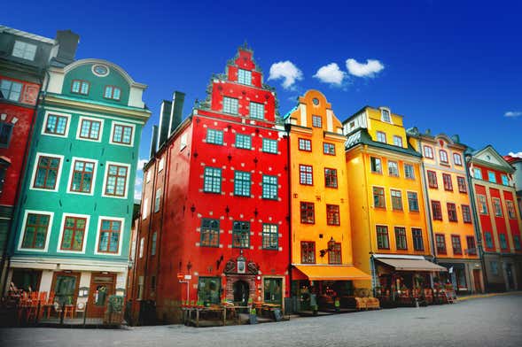
Beautiful architecture, enchanting culture and fascinating history: explore Stockholm's Old Town on this free walking tour with an expert English-speaking guide.
Show on Civitatis* 0$
English
English
2h 30m
9.5/10 stars, 489 ratings
9.5/10 stars, 489 ratings
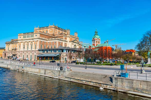
Discover the fascinating history and artwork of Stockholm's New Town on this free walking tour of the Swedish capital's contemporary district.
Show on Civitatis* 0$
English
English
2h 30m
9.4/10 stars, 977 ratings
9.4/10 stars, 977 ratings

Södermalm is an island in central Stockholm known as the city's hipster district. Discover its charms on this free walking tour!
Show on Civitatis* 28 sights
7.9 km
7.9 km
159 m
157 m
157 m
- Sankt Eriksplan
- Bonniers konsthall
- Sabbatsbergs kyrka
- Vasaparken
- Sven-Harrys konstmuseum
- Observatorielunden
- Spökparken
- Strindberg Museum
- August Strindberg
- Tegnérlunden
- Swedenborgskyrkan
- Sankt Peters kyrka
- Citykyrkan
- Adolf Fredrik Church
- St. John's Church
- Karl Staaffs Park
- Fordon
- Korskyrkan
- Två myror
- Eriksbergsparken
- Timmermansorden
- National Library of Sweden
- Farfadern
- Humlegården
- Stureparken
- Frälsningsarméns tempel
- Olaus Petri kyrka
- Tessinparken
27 sights
8.7 km
8.7 km
141 m
150 m
150 m
- Uggleviksreservoaren
- Triangelparken
- Gasqueparken
- Millespottan
- Engelska parken
- Lill-Jans Plan
- Balders Hage
- Engelbrekt Church
- Ellen Keys Park
- Jarlaplan
- Sankt Georgios kyrka
- Kristi förklarings ortodoxa kyrka
- Monica Zetterlunds Park
- Teaterverket
- Betlehemskyrkan
- Spökparken
- Observatorium
- Observatorielunden
- Intiman
- Gustaf Vasa Church
- Norrmalmskyrkan
- Enkehusparken
- Sankt Matteus kyrka
- Sven-Harrys konstmuseum
- Vasaparken
- Sankt Eriksplan
- Filadelfiakyrkan
7 sights
2.3 km
2.3 km
44 m
51 m
51 m
- Kristi förklarings ortodoxa kyrka
- Sankt Georgios kyrka
- Monica Zetterlunds Park
- Vanadislundens vattenreservoar
- Stefanskyrkan
- Enkehusparken
- Sankt Eriksparken
8 sights
3.1 km
3.1 km
53 m
66 m
66 m
- Observatorielunden
- Teaterverket
- Norrmalmskyrkan
- Enkehusparken
- Sankt Matteus kyrka
- Vanadisplan
- Sankt Eriksplan
- Filadelfiakyrkan
7 sights
3.7 km
3.7 km
96 m
107 m
107 m
- Vanadislundens vattenreservoar
- Stefanskyrkan
- Sveaplan
- Bellevueparken
- Sankt Eriksparken
- Vanadisplan
- Det entomologiska kvinnorovet
Share
Spread the word! Share this page with your friends and family.
How likely are you to recommend us?
What can we improve?
Why Visit Sights? Self-guided sightseeing tours are a free and safe alternative to bus tours. You can explore Stockholm at your own pace, any time! Do something good for your health by walking.