Self-guided Sightseeing Tour #1 in Le Pré-Saint-Gervais, France
Legend
Tour Facts
6.8 km
185 m
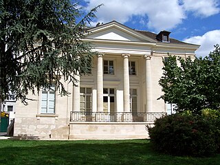
Experience Le Pré-Saint-Gervais in France in a whole new way with our free self-guided sightseeing tour. This site not only offers you practical information and insider tips, but also a rich variety of activities and sights you shouldn't miss. Whether you love art and culture, want to explore historical sites or simply want to experience the vibrant atmosphere of a lively city - you'll find everything you need for your personal adventure here.
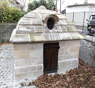
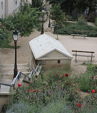
Individual Sights in Le Pré-Saint-GervaisSight 1: Regard du Trou-Morin
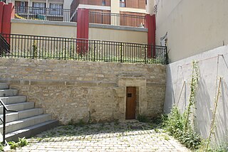
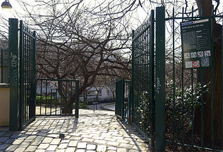
The Trou-Morin manhole is a manhole located in Pré-Saint-Gervais, France.
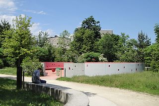
Sight 2: Jardin Serge Gainsbourg
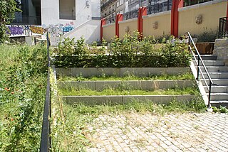
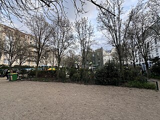
The Jardin Serge-Gainsbourg is a public garden in the 19th arrondissement of Paris, France.
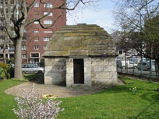
Sight 3: Regard des Maussins
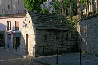
The manhole of the Maussins is a manhole — that is, a masonry device used to inspect a pipe — located in Paris, France.
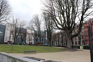
Sight 4: Square du Docteur Variot
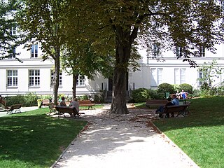
The Square du Docteur-Variot is a square located near the Porte des Lilas, in the 20th arrondissement of Paris.
Sight 5: Église Notre-Dame-des-Otages
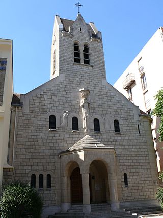
The Church of Notre-Dame-des-Otages is a Roman Catholic parish church located at 81, rue Haxo in the 20th arrondissement of Paris.
Sight 6: Belleville
Montmartre and Belleville are disputing the highest levelling point in Paris. A distinction must be made between the two locations: "public domain, municipal road" and "private domain".
Sight 7: Jardin Léon Zyguel
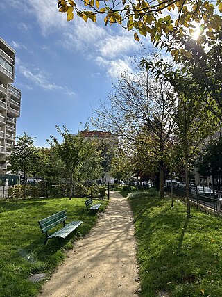
The Léon-Zyguel Garden is a green space in the 20th arrondissement of Paris, France.
Sight 8: Jardin Pixérécourt
The Pixérécourt Garden is a green space in the 20th arrondissement of Paris, France.
Sight 9: Jardin Emmi Pikler
The Emmi-Pikler Garden, formerly the Olivier-Metra Garden, is a green space in the 20th arrondissement of Paris, in the Belleville district.
Sight 10: Jardin Jean-Michel Rosenfeld
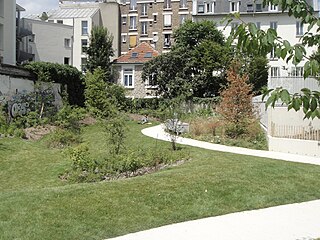
The Carré-de-Baudouin garden is a green space in the 20th arrondissement of Paris.
Sight 11: Pavillon Carré de Baudouin
The Pavillon Carré de Baudouin is an eighteenth-century building located on rue de Ménilmontant in the 20th arrondissement of Paris, which was converted into a cultural space open to the public in June 2007. The place is managed by the city of Paris and the town hall of the 20th arrondissement of Paris and admission is free.
Sight 12: Église Notre-Dame-des-Coptes
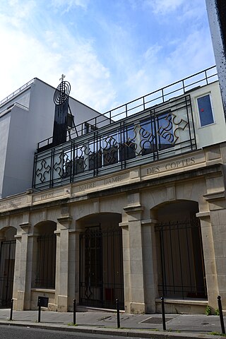
The Notre-Dame-des-Coptes church is located at 22, rue de l'Est, in the 20th arrondissement of Paris. The church, completed in 2012, was previously an EDF substation.
Sight 13: Jardin des Petites Rigoles
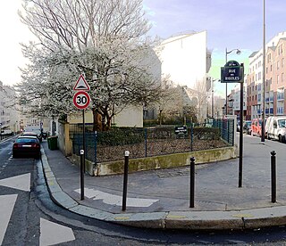
The Jardin des Petites-Rigoles is a green space located at 42, rue des Cascades, or at 43-47, rue de l'Ermitage but accessible only at 1, rue Fernand-Raynaud in the 20th arrondissement of Paris, in the Belleville district.
Sight 14: Regard des Petites Rigoles
The Petites-Rigoles manhole is a manhole, a structure allowing access to a pipe, located in the 20th arrondissement of Paris, France.
Sight 15: Regard Saint-Martin
The Regards Saint-Martin is a manhole, i.e. a structure allowing access to a pipe, located in the 20th arrondissement of Paris, France.
Sight 16: Regard de la Roquette
The Roquette manhole is a manhole, i.e. a structure allowing access to a pipe, located in the 20th arrondissement of Paris, France.
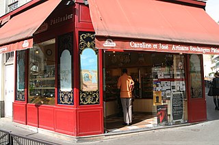
Sight 17: Aux Délices des Quatre Saisons
The bakery-pastry shop Place Henri-Krasucki is a bakery located in the 20th arrondissement of Paris, France, whose storefront, dating from 1910, has been listed as a historical monument since 1984.
Sight 18: Jardin des Couronnes
The Jardin des Couronnes is a green space in the 20th arrondissement of Paris, in the Belleville district.
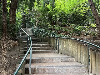
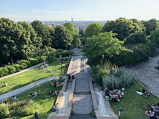
Sight 19: Parc de Belleville
The Parc de Belleville, one of the parks and gardens of the 20th arrondissement of Paris, is situated between the Parc des Buttes Chaumont and the Père Lachaise Cemetery.
Sight 20: Jardin Gabriële Buffet
The Gabriële-Buffet Garden, formerly the "garden of the rue Pali-Kao", is a green space in the 20th arrondissement of Paris, France.
Sight 21: Square Jules Verne
Square Jules-Verne is a square in the 11th arrondissement of Paris, France.
Sight 22: Théâtre de Belleville
The Théâtre de Belleville is a performance hall located at 94, rue du Faubourg-du-Temple, in the 11th arrondissement of Paris.
Wikipedia: Théâtre de Belleville (créé en 2011) (FR), Website
Sight 23: Palais du Commerce
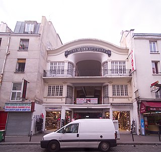
The Palais du Commerce is a single-access shopping arcade in the 10th arrondissement of Paris.
Sight 24: Laurette Théâtre
The Laurette Théâtre is a performance hall located at 36 rue Bichat, in the 10th arrondissement of Paris. This theater is open to the creations of young companies, one man shows, concerts, dance and children's shows.
Share
How likely are you to recommend us?
Disclaimer Please be aware of your surroundings and do not enter private property. We are not liable for any damages that occur during the tours.
GPX-Download For navigation apps and GPS devices you can download the tour as a GPX file.
