Self-guided Sightseeing Tour #1 in Béziers, France
Legend
Guided Free Walking Tours
Book free guided walking tours in Béziers.
Guided Sightseeing Tours
Book guided sightseeing tours and activities in Béziers.
Tour Facts
2.1 km
118 m
Experience Béziers in France in a whole new way with our self-guided sightseeing tour. This site not only offers you practical information and insider tips, but also a rich variety of activities and sights you shouldn't miss. Whether you love art and culture, want to explore historical sites or simply want to experience the vibrant atmosphere of a lively city - you'll find everything you need for your personal adventure here.
Sight 1: Buste de Maffre Ermengaud

Matfre Ermengau was a Franciscan friar, legist, and troubadour from Béziers. He had a master of laws degree.
Sight 2: Buste de Jean-Pons-Guillaume Viennet
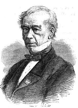
Jean-Pons-Guillaume Viennet was a French politician, playwright and poet. He was also a member of the Académie française and a prominent Freemason.
Sight 3: Jardin du Plateau des Poètes

The Plateau des Poètes is an English-style garden created at the end of the nineteenth century in Béziers, as an extension of the promenade that crosses the centre of the city, the "Allées Paul Riquet".
Sight 4: Buste de Jean Laurès

Jean Laurès (26 July 1822 – 20 January 1902) was an Occitan writer and poet. Jean Laurès was a félibre and majoral of Béziers (1892).
Sight 5: Église Saint-Jacques

The Church of Saint-Jacques de Béziers is a Romanesque church located in Béziers in the French department of Hérault in the Occitanie region.
Sight 6: Pont Vieux

The Pont Vieux is a listed structure located in Béziers, in the Hérault department.
Share
Disclaimer Please be aware of your surroundings and do not enter private property. We are not liable for any damages that occur during the tours.
GPX-Download For navigation apps and GPS devices you can download the tour as a GPX file.