Self-guided Sightseeing Tour #1 in Niagara Falls, Canada
Legend
Tour Facts
3 km
124 m
Experience Niagara Falls in Canada in a whole new way with our free self-guided sightseeing tour. This site not only offers you practical information and insider tips, but also a rich variety of activities and sights you shouldn't miss. Whether you love art and culture, want to explore historical sites or simply want to experience the vibrant atmosphere of a lively city - you'll find everything you need for your personal adventure here.
Individual Sights in Niagara FallsSight 1: Horseshoe Falls
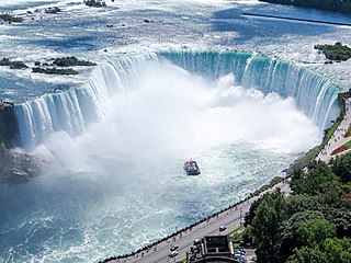
Horseshoe Falls is the largest of the three waterfalls that collectively form Niagara Falls on the Niagara River along the Canada–United States border. Approximately 90% of the Niagara River, after diversions for hydropower generation, flows over Horseshoe Falls. The remaining 10% flows over American Falls and Bridal Veil Falls. It is located between Terrapin Point on Goat Island in the US state of New York, and Table Rock in the Canadian province of Ontario. These falls are also referred to as the Canadian Falls.
Sight 2: Queen Victoria Park
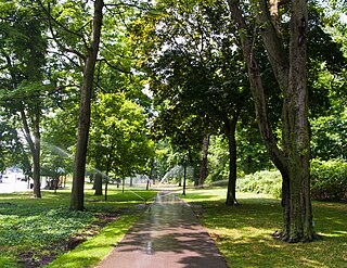
Queen Victoria Park is the main parkland located in Niagara Falls, Ontario, Canada opposite the American and Canadian Horseshoe Falls. Established by the Niagara Falls Park Act in 1885 and opened in 1888, the park is operated by the Niagara Parks Commission and is considered the centerpiece of the Niagara Falls recreational tourist area.
Sight 3: Terrapin Point
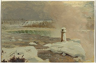
Terrapin Point is an observation area located in Niagara Falls, New York at the western tip of Goat Island, next to the Canadian Horseshoe Falls. It is one of two major observation areas to overlook the falls and lower Niagara Gorge on the New York side, the other being Prospect Point further downriver.
Sight 4: Luna Island
Get Ticket*Luna Island is a very small uninhabited island in the Niagara River in the U.S. state of New York.
Sight 5: American Falls
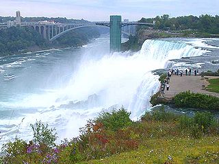
The American Falls is the second largest of the three waterfalls that together are known as Niagara Falls on the Niagara River along the Canada–United States border. Unlike the much larger Horseshoe Falls, of which approximately 90% is in Ontario, Canada, and 10% in the U.S. state of New York, the American Falls is entirely within the United States.
Sight 6: Bridal Veil Falls
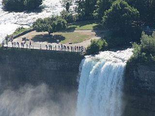
Bridal Veil Falls is the smallest of the three waterfalls that make up Niagara Falls. It is located on the United States side in New York state. Luna Island separates it from the American Falls and Goat Island separates it from the Horseshoe Falls. Bridal Veil Falls faces to the northwest and has a crest 56 ft (17 m) wide.
Sight 7: Goat Island
Get Ticket*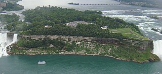
Goat Island is a small island in the Niagara River, in the middle of Niagara Falls between the Bridal Veil Falls and the Horseshoe Falls. The island is at the southwest corner of the City of Niagara Falls, New York, in the United States and is part of Niagara Falls State Park.
Sight 8: The Hotel Niagara
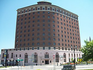
The Hotel Niagara is a vacant landmark hotel in Niagara Falls, Niagara County, New York. It was listed on the National Register of Historic Places in 2008.
Sight 9: Prospect Point Park Observation Tower
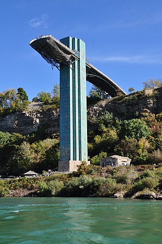
The Prospect Point Observation Tower is a tower in Niagara Falls, New York, United States just east of the American Falls.
Sight 10: Prospect Point Observation Tower
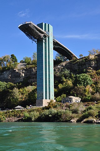
Get Ticket*The Prospect Point Observation Tower is a tower in Niagara Falls, New York, United States just east of the American Falls.
Share
How likely are you to recommend us?
Disclaimer Please be aware of your surroundings and do not enter private property. We are not liable for any damages that occur during the tours.
GPX-Download For navigation apps and GPS devices you can download the tour as a GPX file.
