Free Walking Sightseeing Tour #1 in Gumpoldskirchen, Austria
Legend
Tour Facts
5.1 km
104 m
Explore Gumpoldskirchen in Austria with this free self-guided walking tour. The map shows the route of the tour. Below is a list of attractions, including their details.
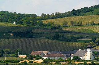
Sight 1: Freigut Thallern
Freigut Thallern, also known as Stiftsweingut Heiligenkreuz, is a winery belonging to Heiligenkreuz Abbey in the district of Thallern in the market town of Gumpoldskirchen and is located in the Thermenregion wine-growing region of Lower Austria.
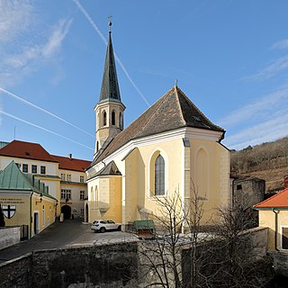
Sight 2: Sankt Michael
The Roman Catholic parish church of Gumpoldskirchen is located in the municipality of Gumpoldskirchen in the district of Mödling in Lower Austria. It is dedicated to St. Michael and belongs to the deanery of Mödling in the vicariate Unter dem Wienerwald of the Archdiocese of Vienna. The building is a listed building.
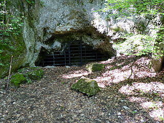
Sight 3: Dreidärrischenhöhle
The Dreidärrischen Cave is the largest cave in the Vienna Woods and is located in the Siebenbrunnengraben, which stretches up the eastern slope of the Anninger from Gumpoldskirchen.
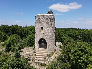
Sight 4: Wilhelmswarte
The Wilhelmswarte is a ten-metre-high stone lookout point on the 675 m high summit of the Hochanninger, the highest point of the Anninger in the municipality of Gaaden in the Vienna Woods. The listed building (list entry) is a geodetic fixed point.
Sight 5: Anninger
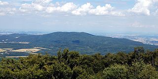
The Anginger, a mountain on the thermal line in Lower Austria, consists of a lime plateau with four peaks, the highest referred to as Anninger, where the bricked Wilhelmswarte is also located. The Anger is located in the Föhrenberge Nature Park in the Wienerwald. All four peaks belong to the municipal area of Gaaden, but slopes and foothills extend to the municipalities of Mödling, Gumpoldskirchen, Pfaffstätten and Hinterbrühl.
Share
Disclaimer Please be aware of your surroundings and do not enter private property. We are not liable for any damages that occur during the tours.
GPX-Download For navigation apps and GPS devices you can download the tour as a GPX file.
