5 Sights in Sonoma County, United States (with Map and Images)
Legend
Welcome to your journey through the most beautiful sights in Sonoma County, United States! Whether you want to discover the city's historical treasures or experience its modern highlights, you'll find everything your heart desires here. Be inspired by our selection and plan your unforgettable adventure in Sonoma County. Dive into the diversity of this fascinating city and discover everything it has to offer.
1. Mount Saint Helena
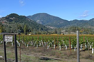
Mount Saint Helena is a peak in the Mayacamas Mountains with flanks in Napa, Sonoma, and Lake counties of California. Composed of uplifted volcanic rocks from the Clear Lake Volcanic Field, it is one of the few mountains in the San Francisco Bay Area to receive any snowfall during the winter.
2. Mount Hood
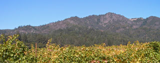
Mount Hood, also known as Hood Mountain, is a mountain near the southeastern edge of Santa Rosa, California, at the northeast of the Sonoma Valley and attains a height of 2,733 feet (833 m). The original name was Mount Wilikos, an Indian name meaning "willows." Most of the drainage from Mount Hood contributes to the headwaters of Sonoma Creek. A prominent feature is the extensive rock face visible on the upper half of the mountain as viewed from State Route 12. The habitats on the mountain include mixed oak forest, pygmy forest, chaparral and riparian zones. In prehistoric times the slopes of Mount Hood were inhabited by a division of the Yuki tribe. Most of Mount Hood is within the Hood Mountain Regional Park maintained by Sonoma County. Mount Hood is part of the inner coast Mayacamas Range, and lies mostly within Sonoma County, with a part of the mountain geographically within Napa County. Mount Hood affords overlooks of the Pacific Ocean, San Francisco Bay and "a spectacular view east to the Sierra Nevada Range."
3. Sonoma Mountain
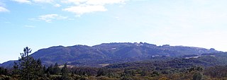
Sonoma Mountain is a prominent landform within the Sonoma Mountains of southern Sonoma County, California. At an elevation of 2,463 ft (751 m), Sonoma Mountain offers expansive views of the Pacific Ocean to the west and the Sonoma Valley to the east. In fact, the viticultural area extends in isolated patches up the eastern slopes of Sonoma Mountain to almost 1,700 feet (520 m) in elevation.
4. Buena Vista Winery
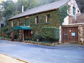
Buena Vista Winery is a winery located in Sonoma, California, United States. It is the second oldest winery in California after the D'Agostini Winery, which was founded a year prior in 1856. It was founded by Agoston Haraszthy in 1857. The winery is located on its original grounds, just east of Sonoma, California.
5. Bliss Hill
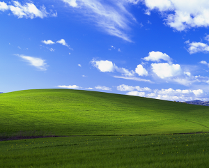
Bliss, originally titled Bucolic Green Hills, is the default wallpaper of Microsoft's Windows XP operating system. It is a photograph of a green rolling hills and daytime sky with cirrus clouds. Charles O'Rear, a former National Geographic photographer, took the photo in January 1998 near the Napa–Sonoma county line, California, after a phylloxera infestation forced vineyards to be cleared from the hill years prior. He used the Mamiya RZ67 camera and Fujifilm's Velvia film to create the photograph; O'Rear remarked that he did not enhance or manipulate the photograph.
Share
How likely are you to recommend us?
Disclaimer Please be aware of your surroundings and do not enter private property. We are not liable for any damages that occur during the tours.
