8 Sights in Kenai Peninsula, United States (with Map and Images)
Legend
Welcome to your journey through the most beautiful sights in Kenai Peninsula, United States! Whether you want to discover the city's historical treasures or experience its modern highlights, you'll find everything your heart desires here. Be inspired by our selection and plan your unforgettable adventure in Kenai Peninsula. Dive into the diversity of this fascinating city and discover everything it has to offer.
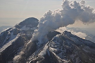
1. Mount Redoubt
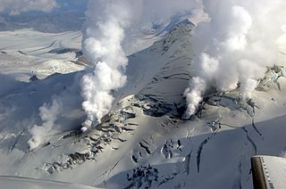
Redoubt Volcano, or Mount Redoubt, is an active stratovolcano in the largely volcanic Aleutian Range of the U.S. state of Alaska. Located at the head of the Chigmit Mountains subrange in Lake Clark National Park and Preserve, the mountain is just west of Cook Inlet, in the Kenai Peninsula Borough about 110 miles (180 km) southwest of Anchorage. At 10,197 feet (3,108 m), in just over 5 miles (8.0 km) Mount Redoubt attains 9,150 feet (2,790 m) of prominence over its surrounding terrain. It is the highest summit in the Aleutian Range. In 1976, Redoubt Volcano was designated as a National Natural Landmark by the National Park Service.
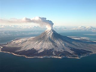
2. Augustine Volcano
Augustine Volcano is a stratovolcano in Alaska consisting of a central complex of summit lava domes and flows surrounded by an apron of pyroclastic, lahar, avalanche, and ash deposits. The volcano is frequently active, with major eruptions recorded in 1883, 1935, 1963–64, 1976, 1986, and 2006. Minor eruptive events were reported in 1812, 1885, 1908, 1944, and 1971. The large eruptions are characterized by an explosive onset followed by the quieter effusion of lava. It forms Augustine Island in southwestern Cook Inlet in the Kenai Peninsula Borough of southcentral coastal Alaska, 174 miles (280 km) southwest of Anchorage. Augustine Island has a land area of 32.4 square miles (83.9 km2), while West Island, just off Augustine's western shores, has 2 sq mi (5.2 km2). The irregular coastline of Augustine Island is due to the repeated catastrophic collapse of the summit dome, forming debris avalanches down the flanks and into Cook Inlet.
3. Mount Spurr
Mount Spurr (Dena'ina: K'idazq'eni) is a stratovolcano in the Aleutian Arc of Alaska, named after United States Geological Survey geologist and explorer Josiah Edward Spurr, who led an expedition to the area in 1898. The Alaska Volcano Observatory (AVO) currently rates Mount Spurr as Level of Concern Color Code Yellow. The mountain is known aboriginally by the Dena'ina Athabascan name K'idazq'eni, literally 'that which is burning inside'.
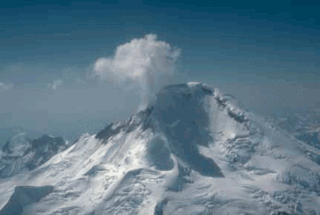
4. Mount Iliamna
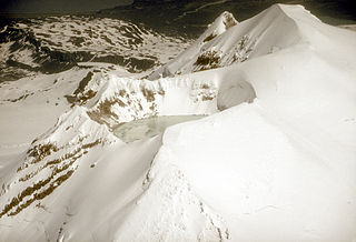
Iliamna Volcano, or Mount Iliamna, is a glacier-covered stratovolcano in the largely volcanic Aleutian Range in southwest Alaska. Located in the Chigmit Mountain subrange in Lake Clark National Park and Preserve, the 10,016-foot (3,053 m) volcano lies approximately 134 miles (215 km) southwest of Anchorage on the west side of lower Cook Inlet. It is the 25th most prominent peak in the United States.
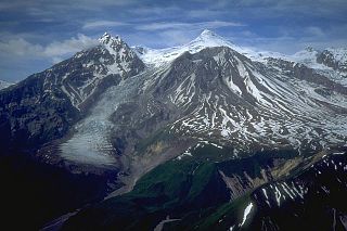
5. Fourpeaked Mountain
Fourpeaked Mountain, also known as Fourpeaked Volcano, is an active stratovolcano located in the U.S. state of Alaska within Katmai National Park & Preserve. The volcano is nearly completely covered by Fourpeaked Glacier.
6. Russian River Falls
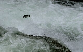
The Russian River is a 13-mile-long (21 km) river on the Kenai Peninsula in the U.S. state of Alaska. It flows northward from Upper Russian Lake in the Kenai Mountains through Lower Russian Lake, draining into the Kenai River near the town of Cooper Landing. The native Denaina people called this river Chunuk'tnu.
7. Mount Douglas
Mount Douglas is a stratovolcano located south of Kamishak Bay, near the northeasternmost part of the Alaska Peninsula. It lies in the Katmai National Park and Preserve in Kenai Peninsula Borough. The mountain was officially named in 1906 after nearby Cape Douglas based on a 1904 report by USGS geologist G. C. Martin. The Alaska Volcano Observatory currently rates Douglas as Level of Concern Color Code Not Assigned.
8. Capps Glacier
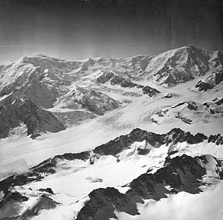
The Capps Glacier is a 38 km long valley glacier in the Tordrillo Mountains in Alaska (USA). The glacier was named in 1958 for Stephen Reid Capps (1881–1949), a geologist with the U.S. Geological Survey (USGS).
Share
How likely are you to recommend us?
Disclaimer Please be aware of your surroundings and do not enter private property. We are not liable for any damages that occur during the tours.
