29 Sights in Stirling, United Kingdom (with Map and Images)
Legend
Welcome to your journey through the most beautiful sights in Stirling, United Kingdom! Whether you want to discover the city's historical treasures or experience its modern highlights, you'll find everything your heart desires here. Be inspired by our selection and plan your unforgettable adventure in Stirling. Dive into the diversity of this fascinating city and discover everything it has to offer.
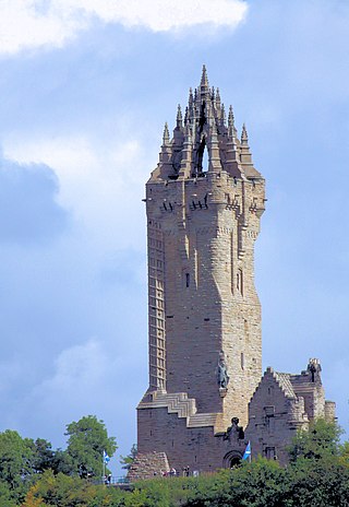
Sightseeing Tours in StirlingActivities in StirlingThe National Wallace Monument is a 67 m (220 ft) tower on the shoulder of the Abbey Craig, a hilltop overlooking Stirling in Scotland. It commemorates Sir William Wallace, a 13th- and 14th-century Scottish hero.
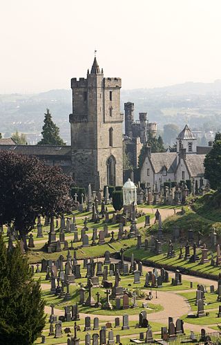
The Church of the Holy Rude is the medieval parish church of Stirling, Scotland. It is named after the Holy Rood, a relic of the True Cross on which Jesus was crucified. The church was founded in 1129 during the reign of David I, but the earliest part of the present church dates from the 15th century. As such it is the second oldest building in Stirling after Stirling Castle, parts of which date from the later 14th century. The chancel and tower were added in the 16th century.
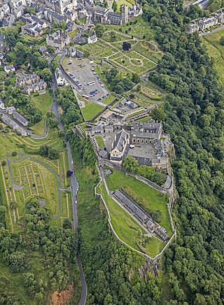
Stirling Castle, located in Stirling, is one of the largest and most historically and architecturally important castles in Scotland. The castle sits atop an intrusive crag, which forms part of the Stirling Sill geological formation. It is surrounded on three sides by steep cliffs, giving it a strong defensive position. Its strategic location, guarding what was, until the 1890s, the farthest downstream crossing of the River Forth, has made it an important fortification in the region from the earliest times.
4. Ben Lomond
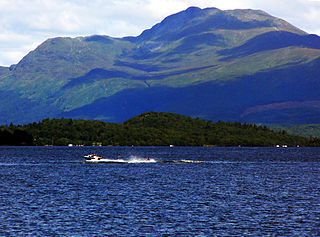
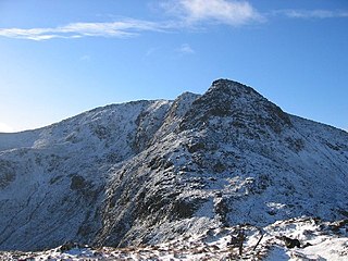
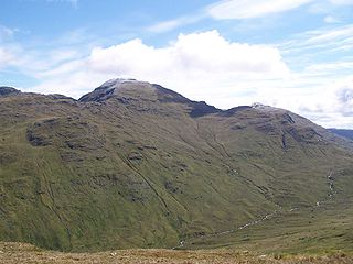
Ben Lomond, 974 metres (3,196 ft), is a mountain in the Scottish Highlands. Situated on the eastern shore of Loch Lomond, it is the most southerly of the Munros. Ben Lomond lies within the Ben Lomond National Memorial Park and the Loch Lomond and The Trossachs National Park, property of the National Trust for Scotland.
5. Ben More
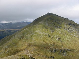
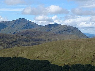
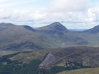
Ben More is a mountain in the Breadalbane region of the southern Scottish Highlands, near Crianlarich. Rising to 1,174 metres (3,852 ft), it is a Munro and is the highest of the so-called Crianlarich Hills to the south-east of the village. There is no higher land in the British Isles south of Ben More. It is separated from Stob Binnein by the Bealach-eadar-dha Beinn, "col between two mountains". It is the highest peak in the Loch Lomond and The Trossachs National Park.
6. Ben Lui
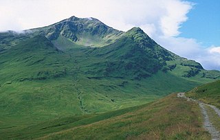
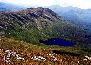
Ben Lui is a mountain in the southern Highlands of Scotland. It is a Munro with a height of 1,130 metres (3,710 ft). Ben Lui is in northeast Argyll and is the highest peak of a mountain chain that includes three other Munros. It has five well-defined ridges radiating out from the summit. Four corries lie between the ridges, including Coirre Gaothaich on the northeast side of the mountain.
7. Argyll's Lodging
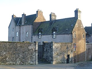
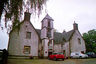
Argyll's Lodging is a 17th-century town-house in the Renaissance style, situated below Stirling Castle in Stirling, Scotland. It was a residence of the Earl of Stirling and later the Earls of Argyll. The Royal Commission regards it as “the most important surviving town-house of its period in Scotland”. At the end of the 20th century it became a museum.
8. Ben Ledi
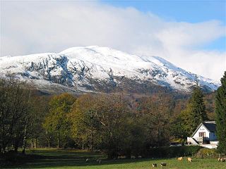
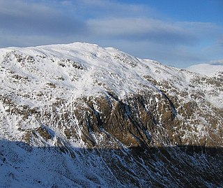
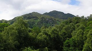
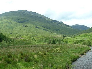
Ben Ledi is a mountain in Stirling, Scotland. It is 879 metres high, and is therefore classified as a Corbett. It lies about six kilometres northwest of Callander, near the village of Kilmahog. It is situated in the Trossachs, an area often regarded as having some of the most romantic scenery in the Highlands.
9. Smith Art Gallery & Museum
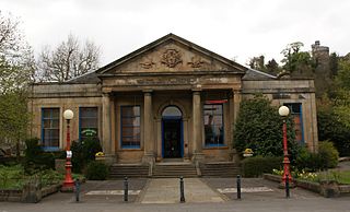
Stirling Smith Art Gallery and Museum, formerly The Smith Institute, is an art and local history museum in Stirling, Scotland. The museum was founded in 1874 at the bequest of artist Thomas Stuart Smith.
Wikipedia: Stirling Smith Art Gallery and Museum (EN), Website
10. Beinn Chuirn
Beinn Chùirn is a hill five kilometres west-south-west of Tyndrum, Scotland, standing on the border of Stirlingshire and Perthshire at the northern extremity of the Loch Lomond and The Trossachs National Park.
11. Mar's Wark
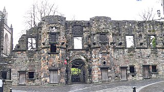
Mar's Wark is a ruined building in Stirling built 1570–1572 by John Erskine, Regent of Scotland and Earl of Mar, and now in the care of Historic Scotland. Mar intended the building for the principal residence of the Erskine family in Stirling, whose chief had become hereditary keeper of the nearby royal Stirling Castle where the princes of Scotland were schooled. Wark is a Scots language word for work, and here it means building. The house is also called "Mar's Lodging."
12. Logie Kirk
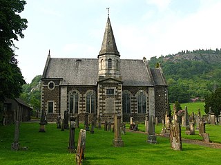
Logie Kirk, considered something of a ‘hidden gem, is nestled in a tranquil spot beneath Dumyat at the Western side of the Ochil Hills, east of Stirling in central Scotland. It serves Church of Scotland pastoral duties in the areas of Cambuskenneth, Bridge of Allan, Causewayhead, and formerly the estate of Airthrey Castle.
13. Stob Binnein
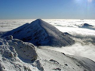
Stob Binnein is a mountain in the southern Highlands of Scotland, near Crianlarich. It forms a twin-peak with Ben More 3,852 ft, from which it is separated by the Bealach-eadar-dha Beinn, meaning pass between two hills.
14. Falls of Falloch
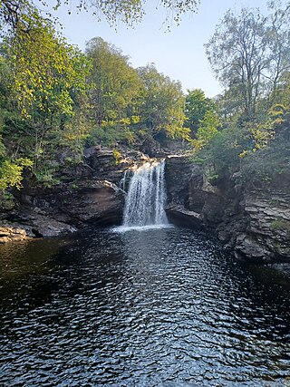
Falls of Falloch is a waterfall and local beauty spot on the river Falloch off the A82. It is 7 km (4 mi) south-west of the village of Crianlarich in the county of Stirling in Scotland. It is also on the West Highland Way.
15. Creag Mhòr
Creag Mhòr is a mountain in the Breadalbane region of the Scottish Highlands. It is in the Forest of Mamlorn, ten kilometres northeast of Tyndrum, and is one of the remotest of the southern Highlands Creag Mhòr reaches a height of 1047 metres (3435 ft) and qualifies as a Munro and a Marilyn. It is often climbed with the neighbouring Munro of Beinn Heasgarnich; the two mountains form the high ground between Glen Lochay and Loch Lyon.
16. Ben Venue
Ben Venue is a mountain in the Trossachs area of Scotland. The name Ben Venue is derived from the Scottish Gaelic words meaning "the miniature mountain". The summit lies approximately 2 kilometres south-west of the pier at the southern end of Loch Katrine. At the foot of the mountain close to the shore of Loch Katrine is Bealach nam Bò meaning the "pass of the cattle", a reference to the lawless days when Highland cattle "lifters" used the pass to drive stolen herds to their land.
17. Stùc a' Chroin
Stùc a' Chroin is a mountain in the Breadalbane region of the southern Scottish Highlands. It is a Munro, with a height of 975 metres (3,199 ft). It lies a short distance south of Ben Vorlich and east of Strathyre. The boundary between the council areas of Perth and Kinross and Stirling passes through the summit of the peak, and the town of Callander lies to the south.
18. Ben Oss
Ben Oss is a mountain in the southern Highlands of Scotland. It is a Munro with a height of 1,029 metres (3,376 ft). Ben Oss is on the border of Argyll and Perthshire, southwest of Tyndrum, within Loch Lomond and the Trossachs National Park. It is part of a mountain chain that includes three other Munros. When viewed from the north or south it is seen as a distinct pointed hill in contrast to its more bulky neighbour Beinn Dubhchraig, with which it is usually climbed. The mountain is quite rocky and craggy being composed of mica schist rock.
19. John Cowanes Hospital
Cowane's Hospital is a 17th-century almshouse in the Old Town of Stirling, Scotland. It was established in 1637 with a bequest of 40,000 merks from the estate of the merchant John Cowane (1570–1633). Subsequently converted for use as a Guildhall the building is considered by Historic Scotland to be "a rare survival of 17th century burgh architecture and one of the finest buildings of its kind in Scotland." It was listed at category A in 1965. The gardens are also seen as a "rare survival" of an institutional garden of the 17th century, and were included in the national Inventory of Gardens and Designed Landscapes in 2012. The hospital is located on St John Street, between the medieval Church of the Holy Rude and the 19th-century Old Town Jail.
20. Cruach Ardrain
Cruach Ardrain is a Munro mountain in the Breadalbane region of the Scottish Highlands, with a height of 1,046 metres (3,432 feet). It is five kilometres southeast of Crianlarich village and is one of the Crianlarich Hills.
21. Beinn Dubhchraig
Beinn Dubhchraig is a mountain in the Scottish Highlands, west of Crianlarich in the northern part of Loch Lomond and the Trossachs National Park. It is a Munro with a height of 978 metres (3,209 ft). It is overshadowed by its neighbour Ben Lui, although it is well seen from the main A82 road. Its name means "mountain of the black rock", referring to the steep and rocky face on the southwest slopes above Loch Oss, which offer scrambling routes to the summit.
22. Bicycle Tree
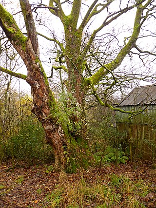
The Bicycle Tree is a veteran tree near Brig o' Turk in the Trossachs, Scotland. Dating from the late 19th century, the tree grew in or near to the scrap heap of the village blacksmith and has encapsulated several metal objects over the years. Most notably this includes an early 20th-century bicycle and, reputedly, a ship's anchor and chain. The Bicycle Tree is recognized as a landmark of the local area and has become a tourist attraction. It was granted the protection of a Tree Preservation Order by the Loch Lomond and The Trossachs National Park Authority in March 2016.
23. Beinn Tulaichean
Beinn Tulaichean is a Scottish mountain. It is not much more than the southern top of Cruach Ardrain, with a descent of only 120m before the ascent to its larger neighbour. It is located approximately 10 km to the north of Loch Katrine close to the site of Robert Roy MacGregor's house.
24. Plean Castle
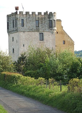
Plean Tower, also known as Cock-a-bendy Castle, Mengie Castle, Menzies Castle and Plane Castle, is located around 1 mile (1.6 km) from Plean, in Stirling, central Scotland. It comprises a small oblong tower house probably dating from the 15th century, and an adjoining 16th-century manor house.
25. Sgiath Chùil
Sgiath Chùil is a mountain situated in the southern highlands of Scotland. It stands within Loch Lomond and the Trossachs National Park, on its northern border. It is about 11 kilometres (6.8 mi) west of Killin.
26. Moirlanich Long House
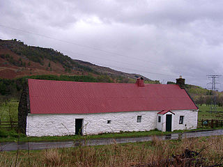
Moirlanich Longhouse is a rare example of a cruck frame Scottish cottage. It is located at grid reference NN562341 in Glen Lochay near Killin in the Stirling council area, Scotland. It is owned by the National Trust for Scotland and is open to visitors from May to September.
27. Meall Odhar
Meall Odhar is a mountain in the Scottish Highlands, situated about 3 km to the west of Tyndrum, close to the northern boundary of the Loch Lomond and the Trossachs National Park. Meall Odhar is part of the Tyndrum Hills. With a height of 656 m and a drop of 183 m, it is listed as a Marilyn and a Graham. The name Meall Odhar is from the Gaelic for "dun-coloured round hill".
28. Loup of Fintry
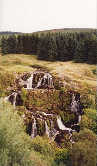
Loup of Fintry is a notable waterfall on the River Endrick around 2 miles to the east of Fintry in Scotland and 17 miles from Stirling, 10 miles from Denny. The total height of the waterfalls is 28.6 m (94 ft) Lowp or "Loup" means leap in Scots.
29. Falls of Leny
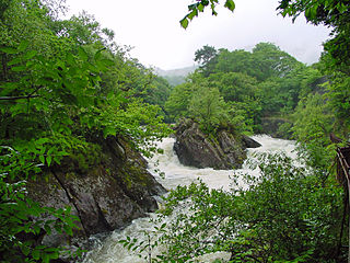
The Falls of Leny are a series of waterfalls in the Trossachs of Scotland on the course of the Garbh Uisge, otherwise known as the River Leny, where the river crosses the Highland Boundary Fault. The falls are located near the Pass of Leny, just north-west of Callander.
Share
How likely are you to recommend us?
Disclaimer Please be aware of your surroundings and do not enter private property. We are not liable for any damages that occur during the tours.
