9 Sights in St Albans, United Kingdom (with Map and Images)
Legend
Welcome to your journey through the most beautiful sights in St Albans, United Kingdom! Whether you want to discover the city's historical treasures or experience its modern highlights, you'll find everything your heart desires here. Be inspired by our selection and plan your unforgettable adventure in St Albans. Dive into the diversity of this fascinating city and discover everything it has to offer.
1. Belgic Oppidum. Ancient British town
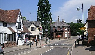
Wheathampstead is a village and civil parish in Hertfordshire, England, north of St Albans. The population of the ward at the 2021 census was 6,622. Included within the parish is the small hamlet of Amwell.
2. Roman Verulamium
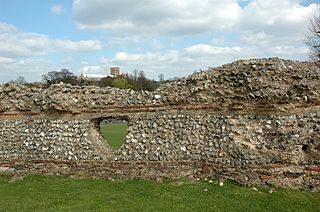
Verulamium was a town in Roman Britain. It was sited southwest of the modern city of St Albans in Hertfordshire, England. The major ancient Roman route Watling Street passed through the city, but was realigned in medieval times to bring trade to St Albans. It was about a day's walk from London.
3. Devil's Dyke
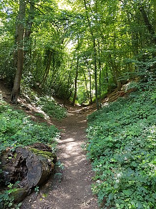
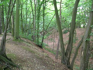
Devil's Dyke is the remains of a prehistoric defensive ditch which lies at the east side of the village of Wheathampstead, Hertfordshire, England. It is protected as a Scheduled Monument. It is generally agreed to have been part of the defences of an Iron Age settlement belonging to the Catuvellauni tribe of Ancient Britain. It has possible associations with Julius Caesar's second invasion of Britain
4. St Michael's Church
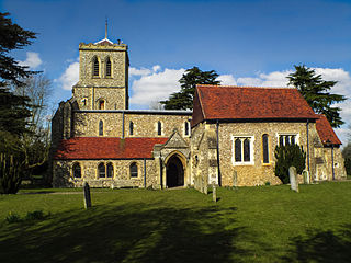
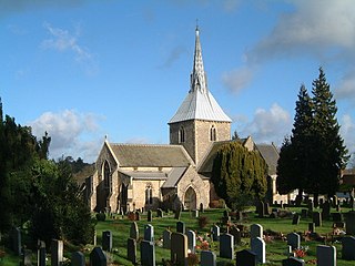
St Michael's Church is a Church of England parish church in St Albans, Hertfordshire, England. Much of the building is late 10th or early 11th century, making it the most significant surviving Anglo-Saxon building in the county. It is located near the centre of the site of Roman Verulamium to the west of the modern city.
5. Verulamium Museum
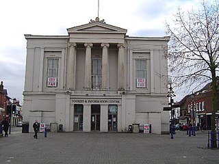
St Albans Museums is a collection of museums and historic buildings in the city of St Albans, Hertfordshire, England that is run by St Albans City and District Council. It oversees St Albans Museum + Gallery and the Verulamium Museum, and also the Hypocaust at Verulamium, St Albans' medieval Clock Tower, and the ruins of Sopwell Priory.
6. The Clock Tower
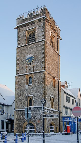
The Clock Tower, St Albans is a Grade I listed belfry in St Albans, England which was constructed between 1403 and 1412, believed to have been completed in 1405. It has been claimed to be the only remaining medieval town belfry in England. Its construction has been seen as a protest against the power of the local abbey to regulate time-keeping in the town.
7. Redbournbury Mill
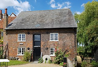
Redbournbury Mill, is a Grade II* listed flour mill in Redbournbury, Hertfordshire, England, which is thought to have been first built in the early 11th Century. Having operated as a watermill on the River Ver, the mill is now powered by a diesel engine.
8. Parish Church of Saint Helen
St Helen's Church is the oldest church in Wheathampstead, Hertfordshire, England, although the date of its origins is unknown. The wooden Anglo-Saxon structure pre-dated the Norman conquest of England, but no records survive which establish the date upon which it was founded. It is a Grade I listed building.
9. Beech Bottom Dyke
Beech Bottom Dyke, is a large ditch running for almost a mile at the northern edge of St Albans, Hertfordshire flanked by banks on both sides. It is up to 30 m (98 ft) wide, and 10 m (33 ft) deep, and it can be followed for three quarters of a mile between the "Ancient Briton Crossroads" on the St Albans to Harpenden road until it is crossed by the Thameslink/Midland mainline railway at Sandridge. Beyond the railway embankment it continues, to finish just short of the St Albans to Sandridge road. This part is not accessible to the public.
Share
How likely are you to recommend us?
Disclaimer Please be aware of your surroundings and do not enter private property. We are not liable for any damages that occur during the tours.
