9 Sights in Newry, Mourne & Down, United Kingdom (with Map and Images)
Legend
Welcome to your journey through the most beautiful sights in Newry, Mourne & Down, United Kingdom! Whether you want to discover the city's historical treasures or experience its modern highlights, you'll find everything your heart desires here. Be inspired by our selection and plan your unforgettable adventure in Newry, Mourne & Down. Dive into the diversity of this fascinating city and discover everything it has to offer.
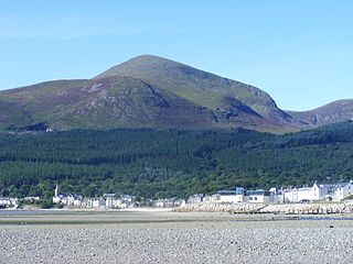
1. Slieve Donard
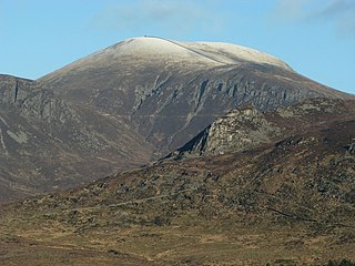
Slieve Donard is the highest mountain in Northern Ireland, the highest in Ulster and the seventh-highest in Ireland, with a height of 850 metres (2,790 ft). The highest of the Mourne Mountains, it is near the town of Newcastle on the eastern coast of County Down, overlooking the Irish Sea. It is also the highest mountain in the northern half of Ireland.
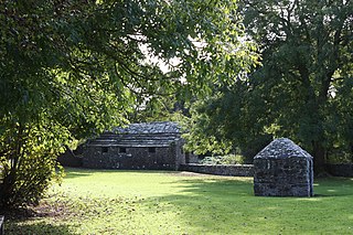
2. Struell Wells
Struell Wells are a set of four holy wells in the townland of Struell, 1.5 miles (2.4 km) east of Downpatrick, County Down, Northern Ireland. The wells date from before the time of Saint Patrick, and even today are used for people seeking cures. On Mid-Summer Eve and the Friday before Lammas, hundreds of pilgrims used to visit Struell. The earliest written reference to the wells is in 1306, but none of the surviving buildings is earlier than about 1600. Pilgrimages to the site are well documented from the 16th century to the 19th century. The site is managed by the Northern Ireland Environment Agency.
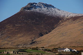
3. Slieve Binnian
Slieve Binnian is one of the Mourne Mountains in County Down, Northern Ireland, 9 km north of Kilkeel. It is the third-highest mountain in Northern Ireland at 747 metres (2,451 ft). The summit is broad and flat with rocky tors at the north and south ends, with the Back Castles, impressive towers of granite, in between. To the south-west is Wee Binnian (460m). It lies east of Silent Valley Reservoir and west of the Annalong Valley. The Mourne Wall also crosses over Slieve Binnian.
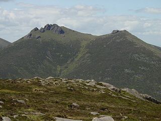
4. Slieve Bearnagh
Slieve Bearnagh is one of the Mourne Mountains in County Down, Northern Ireland. It has a height of 739 metres (2,425 ft). Its summit is crowned by two tors with a gap between them, giving it a distinctive shape. The Mourne Wall crosses the summit of Slieve Bearnagh east to west. Paths lead to the cols on either side of the mountain, namely Pollaphuca to the west and Hare's Gap to the east. From the latter, one can also descend southwards to the head of the Ben Crom reservoir.
5. Haulbowline Lighthouse
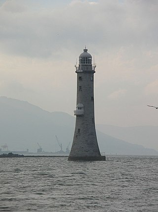
The Haulbowline Lighthouse is an active 19th century lighthouse. Described as an "elegant, tapering stone tower" it is located at the entrance to Carlingford Lough, near Cranfield Point in County Down, Northern Ireland. The lighthouse was built on the eastern part of the Haulbowline rocks, one of a number of navigation hazards at the seaward end of Carlingford Lough, which include a notable rocky shoal or bar across the mouth of the lough. The multi-purpose light was designed to help mark the rocks and, when first built, the depth of water over the bar, as well as acting as a landfall light for ships entering from the Irish Sea. Associated with the lighthouse are the leading lights at Green Island and Vidal Bank which mark the safe channel along Carlingford Lough, with Haulbowline displaying a reserve light in case of problems with these leading lights.
6. Slieve Meelmore
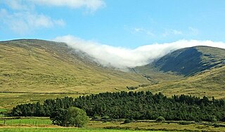
Slieve Meelmore is a mountain in the Mourne Mountains. It is a popular hiking destination and is just under six miles east of the village of Hilltown. The mountain stands at a height of 680 m (2230 ft) and is the seventh-highest mountain in Northern Ireland. It is in the West Mournes with Slieve Meelbeg to the south and Slieve Bearnagh to the east. The Mourne Wall passes over its summit.
7. Slieve Commedagh
Slieve Commedagh is a mountain with a height of 767 m (2,516 ft) in County Down, Northern Ireland. It is the second-highest of the Mourne Mountains, after Slieve Donard, and the second-highest mountain in Northern Ireland.
8. Ben Crom
Ben Crom is a 526 metres (1,726 ft) mountain in the Mourne Mountains in County Down, Northern Ireland. It is situated beside Ben Crom Reservoir, which is upstream from Silent Valley Reservoir. The mountain is composed of granite. An exposed area on the south west of the mountain shows where the Eocene aplitic granite meets the laccolith top of the older Mesozoic granite ring dike. The summit of the mountain features granite crags which are crossed by basic and feldspar porphyry dikes. The mountain is used for sheep grazing and hill walking.
9. Slievelamagan
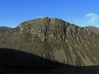
Slieve Lamagan or Slievelamagan is one of the Mourne Mountains in County Down, Northern Ireland. It has a height of 702.2 metres (2,304 ft). Slieve Lamagan stands in the middle of the high Eastern Mournes, overlooking Ben Crom Reservoir to the west, Annalong River valley to the east, and Cove Mountain to the northeast. At its southern foot is a small lake called Blue Lough, and a rock formation known as 'Percy Bysshe'.
Share
How likely are you to recommend us?
Disclaimer Please be aware of your surroundings and do not enter private property. We are not liable for any damages that occur during the tours.
