27 Sights in Conwy, United Kingdom (with Map and Images)
Legend
Welcome to your journey through the most beautiful sights in Conwy, United Kingdom! Whether you want to discover the city's historical treasures or experience its modern highlights, you'll find everything your heart desires here. Be inspired by our selection and plan your unforgettable adventure in Conwy. Dive into the diversity of this fascinating city and discover everything it has to offer.
Activities in Conwy1. Tryfan
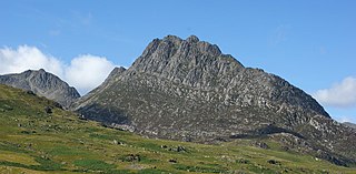
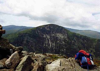
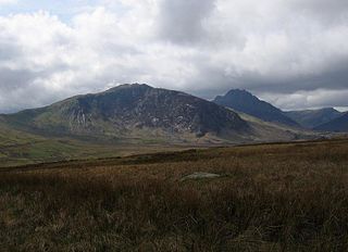
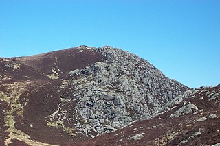
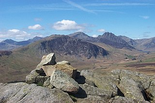
Tryfan is a mountain in the Ogwen Valley, Snowdonia, Wales. It forms part of the Glyderau group, and is one of the most recognisable peaks in Britain, having a classic pointed shape with rugged crags. At 917.5 metres above sea level, it is the fifteenth-highest mountain in Wales. Tryfan was voted Britain's favourite mountain by Trail magazine.
2. Carnedd Llewelyn
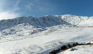
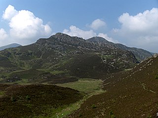
Carnedd Llewelyn, also spelled Carnedd Llywelyn, is a mountain massif in the Carneddau range in Snowdonia, north-west Wales. It is the highest point of the Carneddau at 1,064m (3,491ft) and the second highest peak by relative height in Wales, 49th in the British Isles and lies on the border between Gwynedd and Conwy.
3. Castell Degannwy
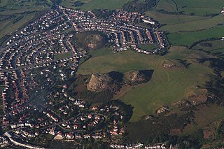
Deganwy Castle was an early stronghold of Gwynedd in Deganwy, at the mouth of the River Conwy in Conwy, north Wales. It sits at an elevation of 110 m (361 ft) on a volcanic plug in an area of limestone known as the Vardre.
4. Glyder Fach
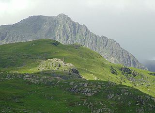
Glyder Fach is a mountain in Snowdonia, north-west Wales, and is the second highest of the Glyderau and the sixth highest in Wales. Routes to the summit lead from Tryfan and Bristly Ridge to the north, via Glyder Fawr from Pen-y-Pass to the south, and along the Glyder ridge to the east, towards Capel Curig. It is a popular spot for climbers.
5. Castell Caer Seion
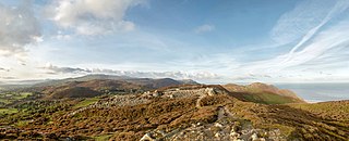
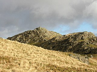
Castell Caer Seion is an Iron Age hillfort situated at the top of Conwy Mountain, in Conwy County, North Wales. It is unusual for the fact that the main fort contains a smaller, more heavily defended fort, complete with its own distinct defences and entrance, with no obvious means of access between the two. The construction date of the original fort is still unknown, but recent excavations have revealed evidence of occupation as early as the 6th century BC, whilst the smaller fort can be dated with reasonable certainty to around the 4th century BC. Whilst the forts were constructed in different periods, archaeologists have uncovered evidence of concurrent occupation, seemingly up until around the 2nd century BC. The larger fort contained around 50 roundhouses during its lifetime, whereas examinations of the smaller fort have turned up no more than six. The site was traditionally associated with Maelgwyn Gwynedd, but there is no evidence pointing to a 6th-century occupation. The fort and wider area beyond its boundaries have been said to retain significant archaeological potential, and are protected by law as a scheduled ancient monument.
6. Tŷ Mawr Wybrnant
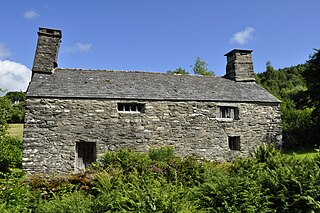
Tŷ Mawr Wybrnant is a house located in the Wybrnant Valley, in the community of Bro Machno, near Betws-y-Coed in Conwy County Borough, North Wales. It was the birthplace of Bishop William Morgan, first translator of the whole Bible into Welsh.
7. Aberconwy House
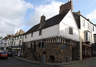
Aberconwy House, 2 Castle Street, Conwy, Wales is a medieval merchant's house and one of the oldest dateable houses in Wales. Constructed in the 15th century it is, along with Plas Mawr, one of the two surviving merchant's houses within the town. Its historical and architectural importance is reflected in its status as a Grade I listed building. The house is administered by the National Trust.
8. Tal y Fan
Tal y Fan is an outlying peak of the Carneddau mountains in North Wales. It is one of the four Marilyns that make up the Carneddau, the others being Carnedd Llywelyn, Pen Llithrig y Wrach and Creigiau Gleision.
9. Conwy Falls
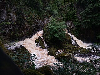
Conwy Falls is a waterfall on the River Conwy at Bro Garmon in Conwy County Borough in Wales. The falls and surrounding area are a Site of Special Scientific Interest. The nearby cafe, adjacent to the A5, is an interesting example of the work of the Welsh architect Clough Williams-Ellis, of Portmeirion fame.
10. Pen Llithrig y Wrach
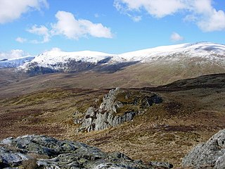
Pen Llithrig y Wrach is a mountain peak in Snowdonia, North Wales. It is one of the four Marilyns that make up the Carneddau range. To the east is Creigiau Gleision, another Marilyn, while to the west are Pen yr Helgi Du and Carnedd Llewelyn. Craig Eigiau and Llyn Eigiau can be seen to the north, while Gallt yr Ogof, Glyder Fach and Tryfan can be viewed to the south.
11. Gallt yr Ogof
Gallt yr Ogof is a mountain in Snowdonia, North Wales. It is a subsidiary top of Glyder Fawr, and is the most easterly point in the Glyderau mountain range, not including the hill Cefn y Capel. Gallt yr Ogof is 763 metres high.
12. Ysgafell Wen
Ysgafell Wen is a subsidiary summit of Allt-fawr in Snowdonia, North Wales. It is the highest point on a broad ridge that stretches to the north-west of Moel Druman, and includes two other summits, Ysgafell Wen North Top. and Ysgafell Wen Far North Top.
13. Creigau Gleision
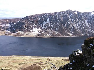
Creigiau Gleision is a mountain in Snowdonia, Wales, near Capel Curig. It is the easternmost of the high Carneddau and is separated from the others by Llyn Cowlyd. Directly across this reservoir from Creigiau Gleision is Pen Llithrig y Wrach. To the north-east it runs into the broad ridge of Cefn Cyfarwydd.
14. Castell Y Gwynt
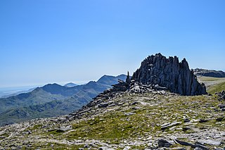
Castell y Gwynt is a top of Glyder Fach in Snowdonia, north-west Wales. It has the merit of being the only 3000 ft Welsh summit classed as only a Nuttall, hence it is not included in the Welsh 3000s. It has a prominence of 15.7 m, and was only included on the Nuttall's list after re-surveying in 2007. The top is more famous as a feature than a summit.
15. Mwdwl-Eithin
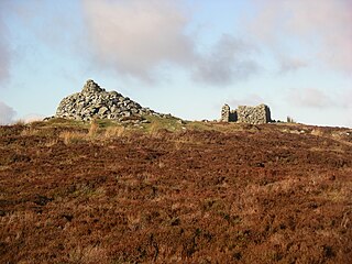
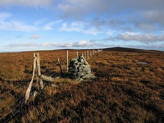
Mwdwl-eithin is the highest point on the Denbigh Moors of North Wales. This gently rising mountain lies about 10 miles (16 km) east of Betws-y-Coed. On its summit is a trig point and a ruined building which still provides shelter against a storm. A few metres away is a large raised stone cairn.
16. Y Foel Goch
Y Foel Goch is a mountain in Snowdonia, north-west Wales, and is a sister peak along with Gallt yr Ogof to Glyder Fach. Between Glyder Fach and its summit lies Llyn Caseg-fraith, a popular lake for photographing Tryfan and its reflection.
17. Creigiau Gleision
Creigiau Gleision North Top is a mountain in Snowdonia, Wales, near Capel Curig. It is a significant top on the Creigiau Gleision ridge, topping the north end of its crest. Views of Carnedd Llewelyn are better from this summit compared to the main Creigiau Gleision summit, due to less shielding from Pen Llithrig y Wrach.
18. Craiglwyn
Craiglwyn is a top of Creigiau Gleision in Snowdonia, Wales, near Capel Curig. It lies at the south end of the Creigiau Gleision ridge, and offers good views of Carnedd Dafydd, Pen yr Helgi Du, Pen Llithrig y Wrach, Gallt yr Ogof, Tryfan and Moel Siabod.
19. Pen Y Castell
Pen y Castell is a summit in the Carneddau mountains in north Wales. It tops the east ridge of Drum (Wales). The summit consists of rocky outcrops amid a small boggy plateau. Views of the higher Carneddau ridge to the west, Craig Eigiau to the south, Tal y Fan to the north and the Conwy valley to the east can be seen.
20. Waun Garnedd-y-filiast
Waun Garnedd-y-filiast is a top of Carnedd y Filiast on the border of the Snowdonia National park near Cerrigydrudion in North Wales. It is part of the Arenig mountain range. It is also a peak in an area of moorland known as the Migneint.
21. Craig Wen
Craig Wen is a mountain peak found in the Carneddau in Snowdonia; grid address SH729602. The relative height, or "prominence" of the summit, is 494 metres: this is the height at which the summit rises above the nearest mountain.
22. Moel Dyrnogydd
Moel Dyrnogydd is a mountain peak found in the Moelwynion in Snowdonia; grid address SH695491. The relative height, or "prominence" of the summit, is 456 metres: this is the height at which the summit rises above the nearest mountain.
23. Crimpiau
Mynydd yn Eryri yw'r Crimpiau. Cyfeirnod AO: SH 733 596. Mae'n gorwedd yn ne-orllewin Sir Conwy tua milltir i'r gogledd-ddwyrain o bentref Capel Curig. Dyma estyniad deheuol olaf y Carneddau, er nad yw'n cyfrif fel rhan o brif gadwyn y mynyddoedd hynny.
24. Pen y Bedw East Top
Pen y Bedw (eastern summit) is a mountain peak found in the Moelwynion south of Betws-y-coed, Gwynedd; grid address SH784470. The relative height, or "prominence" of the summit, is 448 metres: this is the height at which the summit rises above the nearest mountain. The mother mountain is: Birch Head (western summit).
25. Moel Unben
Moel Unben (358m) is a hill in the Vale of Cornwall district, in the county borough of Conwy. It is situated in the middle of the hills enclosed in a triangle of land lying between Llanfair Talhaiarn to the north, Llansannan to the east and Llangernyw to the west.
26. Moel Gwern-Nannau
Moel Gwern-nann is a hill and summit in Conwy County Borough. The height of the summit from sea level is 451.9 metres and the topographic prominence is 47 metres. It is one of over 2,600 hills and mountains officially recognised in Wales.
27. Moel Rhiwlug
Moel Rhiwlug is a hill and summit in Conwy County Borough. The height of the summit from sea level is 433 metres and the topographic prominence is 29 metres. It is one of over 2,600 hills and mountains officially recognised in Wales.
Share
How likely are you to recommend us?
Disclaimer Please be aware of your surroundings and do not enter private property. We are not liable for any damages that occur during the tours.
