28 Sights in Aberdeenshire, United Kingdom (with Map and Images)
Legend
Welcome to your journey through the most beautiful sights in Aberdeenshire, United Kingdom! Whether you want to discover the city's historical treasures or experience its modern highlights, you'll find everything your heart desires here. Be inspired by our selection and plan your unforgettable adventure in Aberdeenshire. Dive into the diversity of this fascinating city and discover everything it has to offer.
1. Rattray Castle
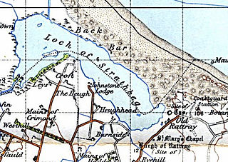
The Castle of Rattray was a medieval Scottish castle, with multiple variations on its structure over approximately six centuries. Originally built as a "late 12th- or early 13th century defensive motte" it provided protection for Starny Keppie Harbour and Rattray village. Sometime between 1214 and 1233 it was upgraded by William Comyn, jure uxoris Earl of Buchan before being destroyed in the 1308 Harrying of Buchan. After Comyn's timber castle was burned down, it was replaced by a stronger stone castle which was engulfed during a 1720 sand storm along with nearby Rattray village. After the storm, the castle was not dug out and remains covered to this day. The castle was described by W. Douglas Simpson as one of the nine castles of the Knuckle, referring to the rocky headland of north-east Aberdeenshire.
2. Ben Macdui
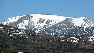
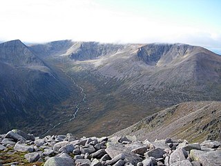
Ben Macdui is the second-highest mountain in Scotland and all of the British Isles, after Ben Nevis, and the highest of the Cairngorm Mountains. The summit is 1,309 metres (4,295 ft) above sea level and it is classed as a Munro. Ben Macdui sits on the southwestern edge of the Cairngorm plateau, overlooking the Lairig Ghru pass to the west, and Loch Etchachan to the east. It lies on the boundary between the historic counties of Aberdeenshire and Banffshire.
3. Oxen Craig
Bennachie is a range of hills in Aberdeenshire, Scotland. It has several tops, the highest of which, Oxen Craig, has a height of 528 metres (1,732 ft). Though not particularly high, compared to other peaks within Scotland, the mountain is very prominent, owing to its isolation and the relative flatness of the surrounding terrain, and dominates the skyline from several viewpoints.
4. Cac Càrn Beag
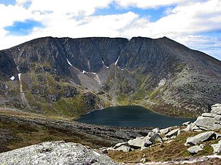
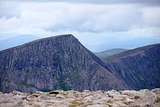
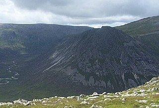
Lochnagar or Beinn Chìochan is a mountain in the Mounth, in the Grampians of Scotland. It is about five miles south of the River Dee near Balmoral. It is a popular hill with hillwalkers, and is a noted venue for summer and winter climbing. At the foot of the mountain is a lochan, Lochan na Gaire, from which the mountain's name derives.
5. Castle Fraser
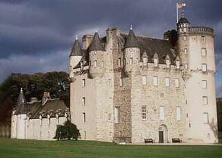
Castle Fraser is the most elaborate Z-plan castle in Scotland and one of the grandest 'Castles of Mar'. It is located near Kemnay in the Aberdeenshire region of Scotland. The castle stands in over 300 acres (1.2 km2) of landscaped grounds, woodland and farmland which includes a walled kitchen garden of the 19th century. There is archaeological evidence of an older square tower dating from around 1400 or 1500 within the current construction. The castle is a Category A listed building and the grounds are included in the Inventory of Gardens and Designed Landscapes in Scotland.
6. Braeriach
Braeriach or Brae Riach is the third-highest mountain in Scotland and all of the British Isles, after Ben Nevis and Ben Macdui, rising 1,296 metres (4,252 ft) above sea level. It is in the Scottish Highlands and is the highest point in the western massif of the Cairngorms, separated from the central section by the Lairig Ghru pass. The summit is a crescent-shaped plateau, overlooking several corries.
7. Mormond Hill
Mormond Hill is a broad eminence in Aberdeenshire, Scotland, not far from Fraserburgh. Its twin summits reach heights of 754 feet (230 m) and 767 feet (234 m); the higher of the two is known as Waughton Hill. The hill is surrounded by the low-lying arable region known as Buchan. At its foot are the villages of Strichen and New Leeds.
8. The GlenDronach Distillery
Glendronach distillery is a Scottish whisky distillery located near Forgue, by Huntly, Aberdeenshire, in the Highland whisky district. It was owned by the BenRiach Distillery Company Ltd. The name Glendronach derives from the Scottish Gaelic Gleann Dronach which means "valley of the brambles" or "valley of the blackberries".
9. Raedykes Roman camp
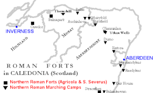
Raedykes is the site of a Roman marching camp located just over three miles northwest of Stonehaven, Aberdeenshire, Scotland. National Grid Reference NO 842902. It is designated as a scheduled monument. A marching camp was a temporary camp used mainly for overnight stops on a long route between more permanent forts, or as a temporary base while on campaign in hostile territory.
10. Sgor an Lochain Uaine
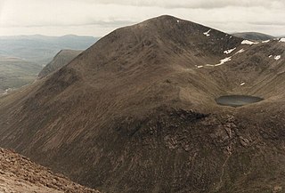
Sgòr an Lochain Uaine is one of the Cairngorms mountains in the Scottish Highlands. Rising to 1,258 metres (4,127 ft), by some counts it is the fifth-highest mountain in Scotland. It is in the western massif of the Cairngorms, standing between Braeriach and Cairn Toul, overlooking An Garbh Choire and the Lairig Ghru pass. It was promoted to Munro status by the Scottish Mountaineering Club's 1997 revision of the tables.
11. Cairn Riv
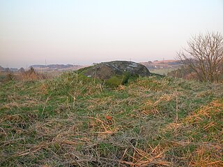
Carlin Stone or Carline Stane is the name given to a number of prehistoric standing stones and natural stone or landscape features in Scotland. The significance of the name is unclear, other than its association with old hags, witches, and the legends of the Cailleach.
12. East Aquhorthies Stone Circle
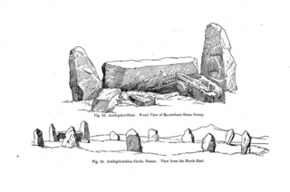
Easter Aquhorthies stone circle, located near Inverurie in north-east Scotland, is one of the best-preserved examples of a recumbent stone circle and one of the few that still have their full complement of stones and the only one that has all its stones still standing without having been re-erected. It stands on a gentle hill slope about 1 mile (1.6 km) west of Inverurie and consists of a ring of nine stones, eight of which are grey granite and one red jasper. Two more grey granite stones flank a recumbent of red granite flecked with crystals and lines of quartz. The circle is particularly notable for its builders' use of polychromy in the stones, with the reddish ones situated on the SSW side and the grey ones opposite. The discovery of a possible cist covered by a capstone at the centre of the circle indicates that there may once have been a cairn there, but only a conspicuous bump now remains.
13. Wormy Hillock
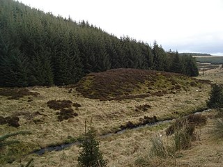
Wormy Hillock Henge, also known as The Dragon's Grave, is a small henge in Aberdeenshire, Scotland. It is a Scheduled Ancient Monument located in the Clashindarroch Forest. It is a low, circular bank 16.5 metres (54 ft) in diameter which almost surrounds a 6-metre (20 ft) wide platform in the centre. There is one gap in the bank at the southeast end of the henge.
14. Cairn Toul
Cairn Toul is the 4th-highest mountain in Scotland and all of the British Isles, after Ben Nevis, Ben Macdui and Braeriach. The summit is 1,291 metres above sea level. It is in the western massif of the Cairngorms, linked by a bealach at about 1125 m to Braeriach. The mountain towers above the Lairig Ghru pass.
15. The Devil's Point
The Devil's Point is a mountain in the Cairngorms of Scotland, lying to the west of the Lairig Ghru pass. The Gaelic name means "Penis of the Demon". The English name is a result of a visit to the area by Queen Victoria. She asked her local ghillie, John Brown, to translate the name; to avoid embarrassment he gave a euphemistic answer.
16. Leabaidh an Daimh Bhuidhe
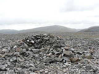
Ben Avon is a mountain in the Cairngorms of Scotland. It is a sprawling mountain with a broad summit plateau dotted with granite tors. One of these marks the summit, called Leabaidh an Daimh Bhuidhe or Stob Easaidh Mòr, which stands at a height of 1,171 metres (3,842 ft). It is classified as both a Munro and a Marilyn.
17. Tolquhon Castle
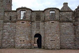
Tolquhon Castle is located in Aberdeenshire, north-east Scotland. It lies about 1.5 miles (2.4 km) north-west of Pitmedden, and 2 miles (3.2 km) south of Tarves. The castle was built by William Forbes, 7th Laird of Tolquhon, between 1584 and 1589 as an extension to the earlier tower house known as Preston's Tower. Although ruined, the castle has been described as "the most characteristic château of the Scots Renaissance". It is in the care of Historic Scotland and is open to the public.
18. Tap o' Noth
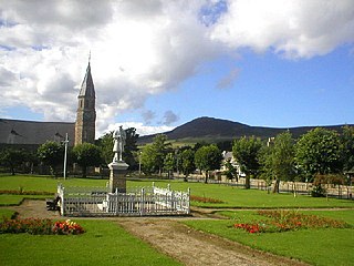
The Tap o' Noth is a hill and the name of a Pictish hill fort on its summit, 8 miles south of Huntly in Aberdeenshire, Scotland at grid reference NJ485293. It is the second highest fort in Scotland and its main feature is its well-preserved vitrified wall which encloses an area of approximately 100 m by 30 m, 0.3 hectares. Archaeological finds from the site include a stone axe head dated to between c. 2000 BC– c.800 BC, and a decorated bronze rein-ring dated to the 1st–3rd century AD. The site has been designated a scheduled ancient monument.
19. Clachnaben
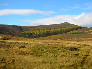
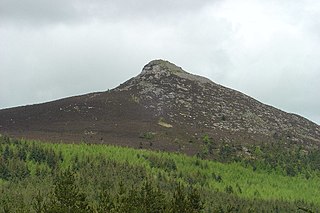
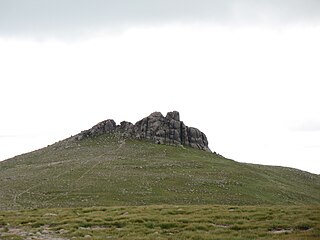
Clachnaben is a 589-metre hill in Glen Dye, Aberdeenshire, Scotland. It is a distinctive hill visible from many points on Lower Deeside and is topped with a large granite tor. Clachnaben is the war cry of Clan Strachan. The hill gives its name to one of the houses at Aboyne Academy.
20. An Socach
An Socach is a Scottish mountain situated some three miles (5 km) west of the A93 road from Perth to Braemar. It is located at grid ref. 080800 on Ordnance Survey sheet 43. The summit altitude is 944 m (3,097 ft). The name may derive from the Gaelic Soc, meaning the snout or beak, leading to the projecting place by analogy with the shape of a snout. Other sources state that it in fact means 'the sow'.
21. Kempstone Hill
Kempstone Hill is a landform in Aberdeenshire, Scotland within the Mounth Range of the Grampian Mountains. The peak elevation of this mountain is 132 metres above mean sea level. This hill has been posited by Gabriel Jacques Surenne, Archibald Watt and C.Michael Hogan as the location for the noted Battle of Mons Graupius between the Romans and the indigenous Caledonians. The major Roman Camp of Raedykes is situated about three kilometres to the west. From Kempstone Hill there are fine views to the North Sea facing east and slightly to the north of Muchalls Castle. There is a UK trigpoint installation on Kempstone Hill.
22. Mount Keen
Mount Keen is a 939-metre-high (3,081 ft) mountain in Scotland and the most easterly Munro. It can be accessed from several directions, South from Glen Mark, North from Glen Tanar, and East to Braid Cairn. It is a moderate walk which is most popularly started by mountain bike, riding through the native Caledonian pine forest of Glen Tanar from Aboyne. On a good day, the Cairngorms, especially Lochnagar, can be seen. The summit is marked by a trig point.
23. Càrn Aosda
Càrn Aosda is a Scottish mountain situated 12.5 km south of the town of Braemar, in the county of Aberdeenshire. It stands near the summit of the Cairnwell Pass on the A93 road, in the midst of the Glenshee Ski Centre.
24. Hill of Dunnideer
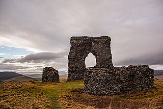
Dunnideer Castle, now ruined, was a tower house located near Insch, Aberdeenshire, Scotland. It was built c. 1260 partially from the remains of an existing vitrified hill fort in the same location. It consisted of a single rectangular tower of 15 m by 12.5 m with walls 1.9 m thick. Evidence suggests that a first-floor hall existed and that it had several floors.
25. Bognie Castle
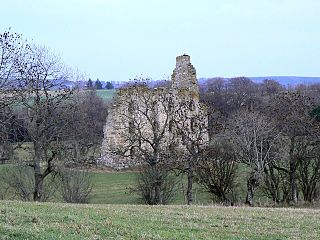
Bognie Castle is a ruined castle on Bognie Estate, between Huntly and Banff in the Aberdeenshire region of Scotland. Once rising four storeys high, it is thought to have been constructed in the 1660s by the Morisons of Bognie, who had become the Barons of Bognie in 1635.
26. Meikle Carewe Hill
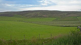
Meikle Carewe Hill is a landform in Aberdeenshire, Scotland within the Mounth Range of the Grampian Mountains. The peak elevation of this mountain is 266 metres above mean sea level. Meikle Carewe is a prominent landform visible from a number of coastal hills such as Kempstone Hill and Megray Hill; it also forms a major backdrop to the community of Netherley.
27. Mill of Benholm
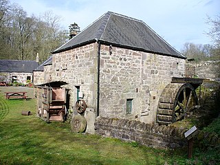
Mill of Benholm in Kincardineshire, Scotland, is a restored and fully working water-powered meal mill. It is sited in ancient woodland near Johnshaven, by the farmlands of Sunset Song country – made famous by local author, Lewis Grassic Gibbon. It featured as Long Rob's Mill in the television serialisation of this novel. It is a category A listed building and is owned the Mill of Benholm Enterprise, and formally by Aberdeenshire Council.
28. Invercauld House
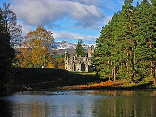
Invercauld Castle is a country house situated in Royal Deeside near Braemar in Scotland. It is protected as a category A listed building, and the grounds are included in the Inventory of Gardens and Designed Landscapes in Scotland.
Share
How likely are you to recommend us?
Disclaimer Please be aware of your surroundings and do not enter private property. We are not liable for any damages that occur during the tours.
