15 Sights in Zermatt, Switzerland (with Map and Images)
Legend
Welcome to your journey through the most beautiful sights in Zermatt, Switzerland! Whether you want to discover the city's historical treasures or experience its modern highlights, you'll find everything your heart desires here. Be inspired by our selection and plan your unforgettable adventure in Zermatt. Dive into the diversity of this fascinating city and discover everything it has to offer.
Activities in Zermatt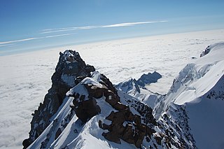
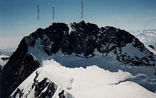
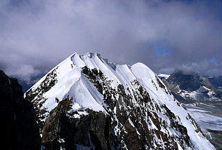
The Dufourspitze is the highest peak of Monte Rosa, an ice-covered mountain massif in the Alps. Dufourspitze is the highest mountain of both Switzerland and the Pennine Alps and is also the second-highest mountain of the Alps and Western Europe, after Mont Blanc. It is located between Switzerland and Italy. The peak itself is located wholly in Switzerland.
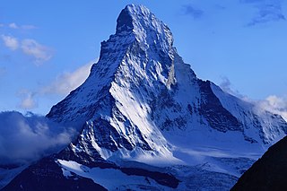
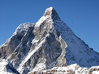
The Matterhorn is a mountain of the Alps, straddling the main watershed and border between Italy and Switzerland. It is a large, near-symmetric pyramidal peak in the extended Monte Rosa area of the Pennine Alps, whose summit is 4,478 metres (14,692 ft) above sea level, making it one of the highest summits in the Alps and Europe. The four steep faces, rising above the surrounding glaciers, face the four compass points and are split by the Hörnli, Furggen, Leone/Lion, and Zmutt ridges. The mountain overlooks the Swiss town of Zermatt, in the canton of Valais, to the northeast; and the Italian town of Breuil-Cervinia in the Aosta Valley to the south. Just east of the Matterhorn is Theodul Pass, the main passage between the two valleys on its north and south sides, which has been a trade route since the Roman Era.
3. Gornergrat
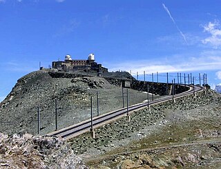
The Gornergrat is a rocky ridge of the Pennine Alps, overlooking the Gorner Glacier south-east of Zermatt in Switzerland. It can be reached from Zermatt by the Gornergrat rack railway (GGB), the highest open-air railway in Europe. Between the Gornergrat railway station and the summit is the Kulm Hotel. In the late 1960s two astronomical observatories were installed in the two towers of the Kulmhotel Gornergrat. The project “Stellarium Gornergrat” is hosted in the Gornergrat South Observatory.
4. Punta Gnifetti / Signalkuppe
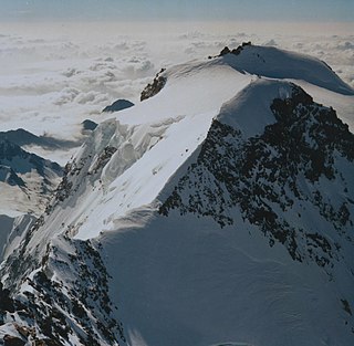
The Signalkuppe also known as Punta Gnifetti is a peak in the Pennine Alps on the border between Italy and Switzerland. It is a subpeak of Monte Rosa. The mountain is named after 'the Signal', a prominent gendarme atop the east ridge, named Cresta Signal.
5. Pollux
Pollux is a mountain in the Pennine Alps on the border between Valais, Switzerland and the Aosta Valley in Italy. It is the lower of a pair of twin peaks, the other being Castor, named after the Gemini twins of Roman mythology. Pollux' peak is at an elevation of 4,089 m (13,415 ft). It is separated from Castor by a pass at 3,846 m (12,618 ft), named Passo di Verra in Italian, Col de Verra in French and Zwillingsjoch in German.
6. Dunantspitze
The Dunantspitze, formerly called Ostspitze, is a peak of the Monte Rosa Massif in the Pennine Alps in Switzerland. It is the second highest peak of the massif, after the Dufourspitze (4,634 m) and the second highest summit in Switzerland, but its prominence is only about 15 metres. At the time of its first ascent it was unclear which of the summits was the higher.
7. Parrotspitze / Punta Parrot
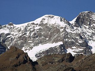
The Parrotspitze is a peak in the Pennine Alps of Italy and Switzerland. It is located south of Dufourspitze in the Monte Rosa Massif. The mountain is named after Johann Jakob Friedrich Wilhelm Parrot, a German doctor, who made an attempt on the Piramide Vincent with Joseph Zumstein in 1816.
8. Breithorn Orientale / Ostgipfel
The Eastern Breithorn but also referred as the western Breithorn Twin, is a peak of the Pennine Alps, located on the border between Switzerland and Italy, between the canton of Valais and the region of Aosta Valley. It is part of the Breithorn range, located east of the Theodul Pass. It lies between the Central Breithorn and its other twin, the Gendarm. On its north side it overlooks the Breithorn Glacier.
9. Roccia Nera
The Roccia Nera is a peak of the Breithorn range in the Pennine Alps, on the boundary between the Aosta Valley and canton of Valais. It is the easternmost summit of the Breithorn massif, located east of the Gendarm. It overlooks the Schwarztor pass on its east side.
10. Cima di Jazzi
The Cima di Jazzi is a mountain of the Pennine Alps, located on the Swiss-Italian border, just north of Monte Rosa. It overlooks Macugnaga on its east (Italian) side. The west (Swiss) side is entirely covered by glaciers.
11. Gobba di Rollin
Gobba di Rollin is a mountain of the Pennine Alps, straddling the border between Switzerland and Italy. It is located south of the Breithorn and it is largely covered by ice, the summit area being particularly flat. On the north side is the Breithorn Plateau of the Theodul Glacier, on the east side is the Verraz Glacier and on the south is the Glacier d'Aventine.
12. Jägerhorn
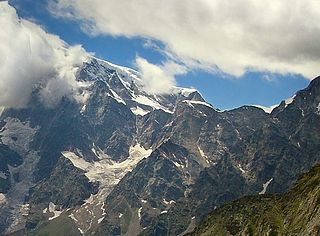
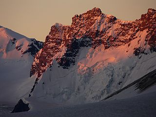
The Jägerhorn is a mountain of the Pennine Alps, located on the border between Switzerland and Italy. It is the northernmost summit of Monte Rosa, at a height of 3,970 metres above sea level, and overlooks the village of Macugnaga on its east side, 2,600 metres below. On its west side it overlooks the Gorner Glacier.
13. Theodulgletscher
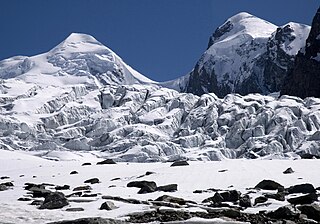
The Theodul Glacier is a glacier of the Alps, located south of Zermatt in the canton of Valais. It lies on the Swiss side of the Pennine Alps, although its upper basin touches the Italian region of the Aosta Valley. The glacier descends from the west side of the Breithorn and splits into two diverging branches above Gandegg: the Upper Theodul Glacier, spilling on a high plateau near Trockener Steg, together with the Furgg Glacier, and the Lower Theodul Glacier, reaching a height of about 2,500 metres (8,202 ft) above the Gorner Glacier.
14. Breithorn Centrale
The Central Breithorn is a peak of the Breithorn range in the Pennine Alps, located on the border between Switzerland and Italy, between the canton of Valais and the region of Aosta Valley. It is located east of the main summit of the Breithorn and west of the western Breithorn Twin.
15. Pic Tyndall
Pic Tyndall is a minor summit below the Matterhorn in the Pennine Alps, on the boundary between Aosta Valley and Switzerland. Because of its small prominence it was included in the enlarged list of alpine four-thousanders. It was named in honour of John Tyndall who made the first ascent.
Share
How likely are you to recommend us?
Disclaimer Please be aware of your surroundings and do not enter private property. We are not liable for any damages that occur during the tours.
