6 Sights in Rascafría, Spain (with Map and Images)
Legend
Welcome to your journey through the most beautiful sights in Rascafría, Spain! Whether you want to discover the city's historical treasures or experience its modern highlights, you'll find everything your heart desires here. Be inspired by our selection and plan your unforgettable adventure in Rascafría. Dive into the diversity of this fascinating city and discover everything it has to offer.
1. La Najarra
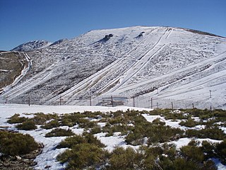
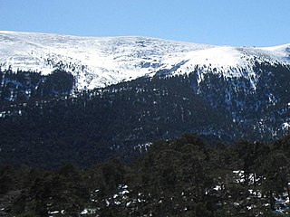
La Najarra is a mountain in the Sierra de Guadarrama. It is located on the border of the municipalities of Miraflores de la Sierra and Soto del Real, to the south, and Rascafría, to the north, and on the eastern limit of the Cuerda Larga mountain range.
2. Cascada del Purgatorio
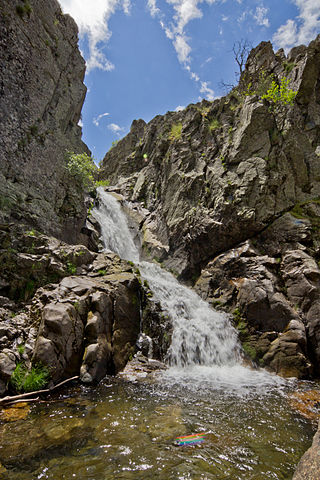
The Purgatorio waterfalls are a group of waterfalls located in the central area of the Sierra de Guadarrama, at the head of the Lozoya valley, on the northern slope of the Cuerda Larga mountain range. Administratively they are within the municipality of Rascafría, in the northwest of the Community of Madrid (Spain).
3. Cerro de Valdemartín
The Cerro de Valdemartín is one of the highest mountains in the Sierra de Guadarrama, with a height of 2280 m a.s.l., and is also the second highest peak of the Cuerda Larga, after the Cabezas de Hierro. It is located on the border between the municipalities of Manzanares el Real, to the south, and Rascafría, to the north, both in the northwestern part of the Community of Madrid (Spain). It has a prominence of 129 meters.
4. Centro de Visitantes Valle de El Paular
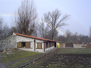
The Valle de El Paular Visitor Centre, the former name of the Puente del Perdón Environmental Education Centre, has about 15,000 m², taking into account the facilities of the Giner de los Ríos Arboretum of approximately 1 hectare in size. It is located in the municipality of Rascafría within the autonomous community of Madrid, Spain and is one of the five centers of the Sierra de Guadarrama National Park.
Wikipedia: Centro de educación ambiental Puente del Perdón (ES), Website
5. Cabeza Mediana
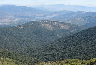
The Median Head is a mountainous elevation nestled in the Sierra de Guadarrama (Spain), one of the main formations of the Central system. It is located in the municipality of Rascafría, in the Community of Madrid, near the protected area of the Peñalara natural park, specifically, about two kilometres to the east. Its maximum height is 1691 m.
6. Loma de Pandasco
The Loma de Pandasco is a mountain in the Sierra de Guadarrama. Administratively it is located between the municipalities of Manzanares el Real, on its south side, and Rascafría, on its north face. These two municipalities are located in the northwest of the Community of Madrid (Spain). The Loma de Pandasco has an altitude of 2247 meters and belongs to the Cuerda Larga mountain range. It is located between the mountains of Cabezas de Hierro, which is to the west, and Asómate de Hoyos, which is to the east. The profile of this mountain is very unprotruding, so it goes quite unnoticed in the Cuerda Larga complex and can be considered as a section of the mountain range to which it belongs.
Share
How likely are you to recommend us?
Disclaimer Please be aware of your surroundings and do not enter private property. We are not liable for any damages that occur during the tours.
