6 Sights in Queralbs, Spain (with Map and Images)
Legend
Welcome to your journey through the most beautiful sights in Queralbs, Spain! Whether you want to discover the city's historical treasures or experience its modern highlights, you'll find everything your heart desires here. Be inspired by our selection and plan your unforgettable adventure in Queralbs. Dive into the diversity of this fascinating city and discover everything it has to offer.
1. Coll de la Marrana
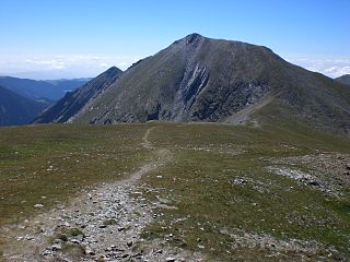
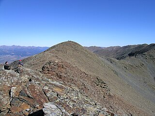
The Coll de la Marrana is a pass located at 2,530 m, between the peak of Bastiments and Gra de Fajol, and which separates the valleys of the Ter and the Freser at the time of the birth of both rivers. At the same time, it is a key crossing point for the crossing between the Ulldeter cirque and the upper valley of the Freser towards Núria and Coma de Vaca. From the Ulldeter refuge you can walk up to the pass in 45 minutes.
2. Puigmal
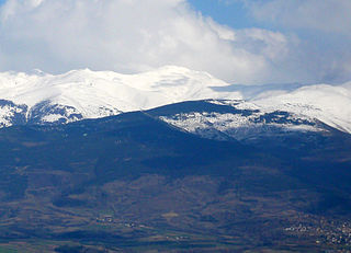
The Peak of Puigmal, also called Puigmal d'Err, is a mountain in the Pyrenees, in the Spanish-French border, within the limits of the municipality of Queralbs and the commune of Err. Its summit is 2,909.6 metres (9,546 ft) above sea level, one of the highest peaks in the eastern Pyrenees. Puigmal d'Err is near the west end of a fine ridge over 2500m high for 16 km. The west half is composed of friable metasediments (schists) which break down to form smooth slopes, and so give easy walking. The east half is of tougher gneiss and forms spiky alpine scenery with sharp crests and some difficult places. Several excellent circuits can be made from Nuria. The plateau summit of Puigmal d'Err is split for several hundred metres by a bold scarp, in places over 20 metres high, with the eastern half having slipped bodily towards Nuria. This is clearly seen on GoogleEarth. Several other crests in this range are likewise split.
3. Tossa del Pas dels Lladres
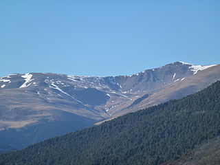
La Tossa del Pas dels Lladres is a mountain of 2,661 meters that is located between the municipality of Queralbs, in the region of Ripollès and the communes of Er and Vallcebollera in Alta Cerdanya, in Northern Catalonia.
4. Pic de Núria
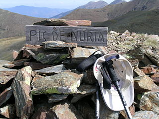
The Pic de Núria or Puig de Núria is a mountain of 2,789.6 meters above sea level on the axial ridge of the Pyrenees, located between the municipality of Eina, in the region of Alta Cerdanya, and the municipality of Queralbs, belonging to the region of Ripollès.
5. Sant Sadurní
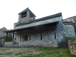
Sant Sadurní de Fustanyà is a Romanesque church in the village of Fustanyà, in the municipality of Queralbs, in the Catalan region of Ripollès. It is located in the valley of the river Freser, near a large farmhouse and next to the open cemetery. It is a work included in the Inventory of the Architectural Heritage of Catalonia.
6. Pic de Segre
Pic del Segre or Puigmal del Segre is a mountain of France and Spain. Located in the Pyrenees, close to Vall de Núria it has an elevation of 2,843 metres (9,327 ft) above sea level. The Segre River has its source by this peak.
Share
How likely are you to recommend us?
Disclaimer Please be aware of your surroundings and do not enter private property. We are not liable for any damages that occur during the tours.
