16 Sights in Naut Aran, Spain (with Map and Images)
Legend
Welcome to your journey through the most beautiful sights in Naut Aran, Spain! Whether you want to discover the city's historical treasures or experience its modern highlights, you'll find everything your heart desires here. Be inspired by our selection and plan your unforgettable adventure in Naut Aran. Dive into the diversity of this fascinating city and discover everything it has to offer.
1. Montardo
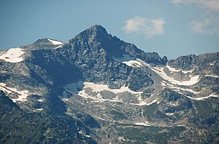
The Montardo or Montardo d'Aran is a peak in the central Pyrenees, in the region of the Val d'Aran. It has a height of 2,833.2 meters and due to its attractiveness and location it is one of the best known mountains in that region and in the entire Pyrenees. He is often also called Montarto.
2. Punta d'Harlé
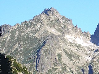
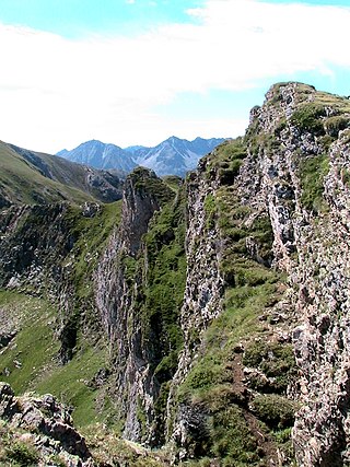
The Punta d'Harlé, or Tumeneia Sud, is a mountain that is located on the border of the municipalities of Vall de Boí and Naut Aran, located on the border of the Aigüestortes i Estany de Sant Maurici National Park and its peripheral area.
3. Malh de Bolard
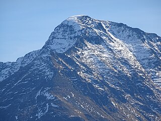
The Mail de Bulard is a summit on the border of the Pyrenees rising from 2,750 to 2,753 m above sea level. On the French side, it is located in the Ariège department in the Occitanie region. On the Spanish side, it is located in the Val d'Aran, in the province of Lleida in Catalonia.
4. el Pa de Sucre
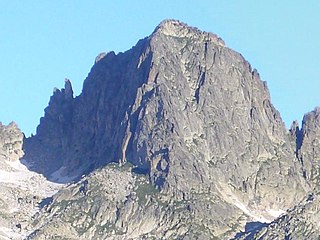
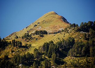
The Pa de Sucre, or Tumeneia Central, is a mountain that is located on the border of the municipalities of Vall de Boí and Naut Aran, located on the border of the National Park of Aigüestortes i Estany de Sant Maurici and its peripheral area.
5. Tumeneia
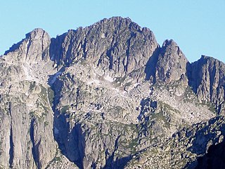
The Tumeneia, or Tuc dera Humenèja in Occitan, is a mountain that is located on the border of the municipalities of Vall de Boí and Naut Aran, located on the border of the National Park of Aigüestortes i Estany de Sant Maurici and its peripheral area.
6. Escornacrabes
The Escòrnacrabes, in Occitan, or Escornacabres in Catalan, is a mountain of 2,613 meters that is located in the axial Pyrenees, in the Beret massif. Although geographically it is located in the NE of the Val d'Aran, the mountain marks the boundary between the municipalities of Alt Àneu, in the region of Pallars Sobirà and Naut Aran in the Val d'Aran. The eastern slope is included in the Natural Park of the High Pyrenees and is a limit of the Cirque de Baciver.
7. Tuc des Monges
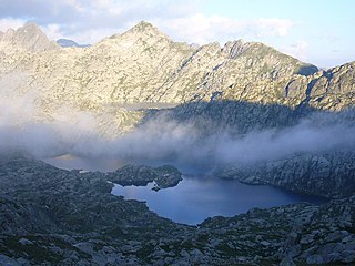
The Tuc de Monges, or des Monges, is a mountain that is located on the border of the municipalities of Vall de Boí and Naut Aran, located on the border of the National Park of Aigüestortes i Estany de Sant Maurici and its peripheral area.
8. Tuc deth Cap deth Pòrt de Caldes
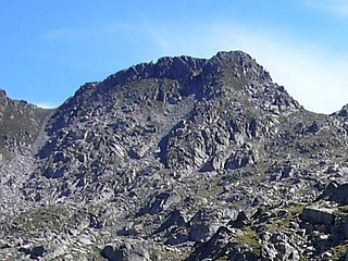
The Tuc deth Cap deth Pòrt de Caldes is a mountain that is located on the border of the municipalities of Vall de Boí and Naut Aran. It is located on the border of the Aigüestortes i Estany de Sant Maurici National Park and its peripheral area.
9. Mussol de Tumeneia
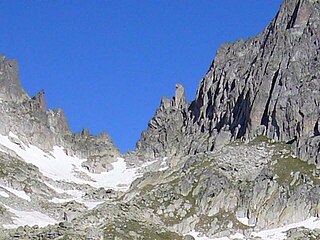
The Tumeneia Owl is a needle that is located on the western slope of the Pa de Sucre, on the border of the municipalities of Vall de Boí and Naut Aran, located on the border of the National Park of Aigüestortes i Estany de Sant Maurici and its peripheral area.
10. Tuc del Port de Caldes
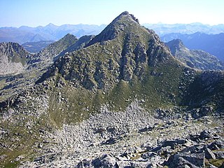
The Tuc deth Pòrt, Travessani Septentrional or Tuc del Port de Caldes, is a mountain that is located on the border of the municipalities of Vall de Boí and Naut Aran. It is located on the border of the Aigüestortes i Estany de Sant Maurici National Park and its peripheral area.
11. Tuc de Ribereta
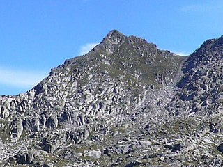
El Tuc de Ribereta is a mountain that is located on the border of the municipalities of Vall de Boí and Naut Aran. It is located on the border of the Aigüestortes i Estany de Sant Maurici National Park and its peripheral area.
12. Tuc de Salana
El Tuc de Salana is a 2,485-metre-high, pyramid-shaped mountain located in the municipality of Naut Aran, in the Val d'Aran region. It is located on the edge of the peripheral area of the Aigüestortes i Estany de Sant Maurici National Park.
13. Tuc des Estanhets
El Tuc des Estanhets is a mountain of 2,887 meters that is located between the municipalities of Naut Aran and Vielha e Mijaran, in the region of Vall d'Aran, and the municipality of Vilaller, in the region of Alta Ribagorça.
14. Tuc de Saslòsses
El Tuc de Saslòsses is a mountain of 2,530 meters that is located in the municipality of Naut Aran, in the region of the Val d'Aran. It is located within the peripheral area of the Aigüestortes i Estany de Sant Maurici National Park.
15. Tuc dera Montanheta
El Tuc dera Montanheta is a mountain of 2085.9 meters that is located in the municipality of Naut Aran, in the region of the Val d'Aran. It is located on the mountain ridge that separates the Ruda valley from the Aiguamòg valley.
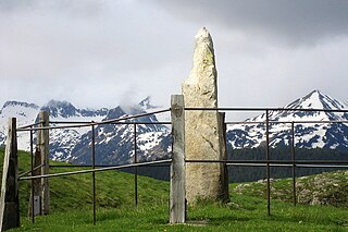
16. Pèira deth Uelh de Garona
The Pèira deth Uelh de Garonne or Pèira de Mijaran is a megalith located right at the watershed between the Atlantic and the Mediterranean, at the upper end of the Pla de Beret and within the municipality of Salardú. The stone is granitic with an irregularly prismatic section and about 2 m high, which is why it had been considered a possible menhir. It is located at an altitude of 1,881 m on a small hill near the C-142B road.
Share
How likely are you to recommend us?
Disclaimer Please be aware of your surroundings and do not enter private property. We are not liable for any damages that occur during the tours.
