11 Sights in Artà, Spain (with Map and Images)
Legend
Welcome to your journey through the most beautiful sights in Artà, Spain! Whether you want to discover the city's historical treasures or experience its modern highlights, you'll find everything your heart desires here. Be inspired by our selection and plan your unforgettable adventure in Artà. Dive into the diversity of this fascinating city and discover everything it has to offer.
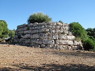
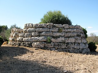
1. Talaiot quadrat de ses Llenques
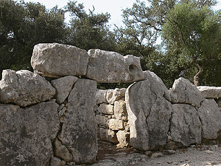
The Talaiotic settlement of Sa Canova is an archaeological site of a settlement on the Spanish Balearic island of Mallorca, which is attributed to the Bronze Age Talaiot culture. The remains of the settlement are located on the estate of sa Canova de Morell, in the municipality of Artà in the region (comarca) of Llevant, near the bay of Alcúdia on the north coast of the island. The exact age of the settlement is not known, but the time of origin is assumed to be between 1300 and 1000 BC.
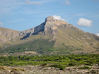
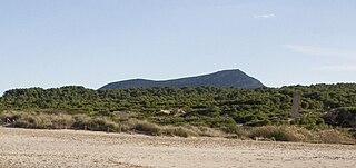
2. Bec de Ferrutx
The Puig de Ferrutx is the second highest mountain in the Serres de Llevant on the Spanish Balearic island of Mallorca with a height of 523 meters, according to other sources 528, 522 or only 519 meters. It is located in the northwestern part of the Llevant Landscape Zone.
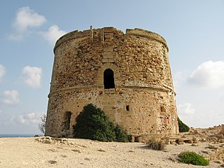
3. Torre d'Albarca
Torre des Matzoc is an 18th-century tower on the northeast coast of the Spanish Balearic island of Majorca. Throughout history, it has also been called Torre de sa Falconera and Torre de San Fernando. Today, the Torre des Matzoc is classified as an "Asset of Cultural Interest". It is located in the municipality of Artà, about nine kilometers northeast of the city of Artà.
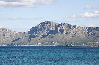
4. la Talaia Freda
The Puig de la Talaia Freda or, simply, the Talaia Freda, with its 562 meters, is the highest mountain in the Sierra de Llevant, it is located in the municipality of Artà and is part of the Serra Artana.
5. Talaiot de sa Clova des Xot
The talayot of Sa Clova des Xot is a circular talayot, of remarkable monumentalism, located within the estate of Sa Canova de Morell (Artà). It was described by Emile Cartailhac, in 1890, as "the largest talayot in the Balearic Islands".
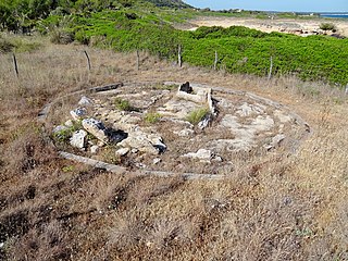
6. Sepulcre megalític de s’Aigua Dolça
The dolmen of S'Aigua Dolça is located in Sa Colònia de Sant Pere d'Artà, on the coast of Betlem, about 30 metres from the sea, near Sa Banyera dels Ermitans. Together with that of Son Bauló, it is the only monument of this type known in Mallorca, and the one that has best preserved the remains of megalithic burials on the island. Fundamental to know the funerary traditions of the time.
7. puig d'Alpare
Puig d'Alpara is a mountain of 487 m above sea level located in Mallorca between the municipalities of Artà and Sant Llorenç des Cardassar. It is located in the possessions of Carrossa, in Artà, and Sa Carbonera, in Sant Llorenç. It overlooks the Colònia de Sant Pere, the Bec de Ferrutx and the beaches of Sa Canova and Son Serra. It has two main climbs, one through Sa Carbonera, in the municipality of Sant Llorenç, and the other through Carrossa, in the municipality of Artà.
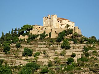
8. Sant Salvador
S'Almudaina d'Artà was a fortification during the Islamic-Arab or Moorish era of the Balearic island of Mallorca. It was located in the northeast of the island, in the geographical centre of the peninsula of Artà, on the hill Puig de Sant Salvador de s'Almudaina d'Artà.
9. poblat talaiòtic de ses Païsses
Ses Païsses is a Bronze Age talayotic settlement on the southeastern outskirts of Artà in northeastern Majorca. It is one of the most important and best-preserved prehistoric sites in the Balearic Islands, although it is largely overgrown with woodland, mainly Quercus ilex, making it impossible to see the site as a whole.
10. Transfiguració del Senyor
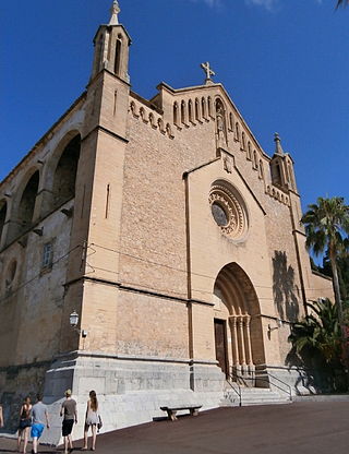
The Church of the Transfiguration of the Lord is a Roman Catholic parish church in the Mallorcan municipality of Artá in the Balearic Islands in Spain. It is located in the northeast of the island of Mallorca.
Wikipedia: Iglesia de la Transfiguración del Señor (Artá) (ES)
11. Talaiot del Puig Figuer
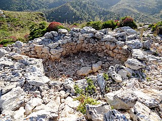
The Talayot of Puig Figuer is a prehistoric tower on the island of Mallorca. It is located in the municipality of Artà, in the region of Levante on Puig Figuer, a mountain above the estates of S'Alqueria Vella and Son Morei. The lower part, built in a circular plan, has been preserved. The building is attributed to the Talayotic culture of the Bronze Age, which inhabited Mallorca from 1300 to 123 BC.
Share
How likely are you to recommend us?
Disclaimer Please be aware of your surroundings and do not enter private property. We are not liable for any damages that occur during the tours.
