6 Sights in Queenstown-Lakes District, New Zealand (with Map and Images)
Legend
Premium Sights
Book tickets, guided tours and activities in Queenstown-Lakes District.
Guided Free Walking Tours
Book free guided walking tours in Queenstown-Lakes District.
Welcome to your journey through the most beautiful sights in Queenstown-Lakes District, New Zealand! Whether you want to discover the city's historical treasures or experience its modern highlights, you'll find everything your heart desires here. Be inspired by our selection and plan your unforgettable adventure in Queenstown-Lakes District. Dive into the diversity of this fascinating city and discover everything it has to offer.
1. Cardrona Bra Fence
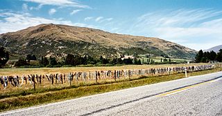
The Cardrona Bra Fence is a controversial tourist attraction in Central Otago, in New Zealand. At some point between 1998 and 1999, passers-by began to attach bras to a rural fence. The fence gradually became a well known site as the number of bras grew to hundreds. The fence is located on a public road reserve, adjacent to farm property in the Cardrona Valley area southwest of Wānaka, near to Cardrona.
2. Ben Lomond
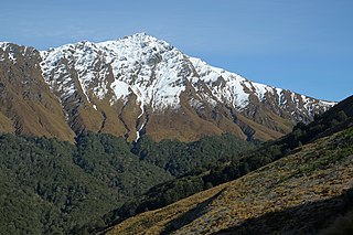
Ben Lomond is a mountain close to Queenstown, New Zealand. It was named after Ben Lomond in Scotland by the early shepherd Duncan McAusland. The summit is approximately 4 km (2.5 mi) northwest of the town centre and reaches a height of 1,748 metres (5,735 ft). Connected to Ben Lomond are the large but slightly shorter Bowen Peak and Bob's Peaks, while nearby is the dominant feature of Queenstown Hill. There are scenic views available from a range of places on the mountain with the top giving a 360-degree panorama of much of the Wakatipu Basin including Lake Wakatipu, The Remarkables Mountains, Cecil Peak and Walter Peak.
3. Mount Earnslaw
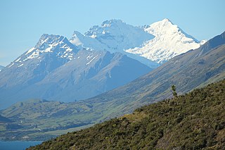
Mount Earnslaw / Pikirakatahi is a 2,819-metre (9,249 ft) mountain in the South Island of New Zealand. It is named after Earnslaw village in the parish of Eccles, Berwickshire, hometown of the surveyor John Turnbull Thomson's father.
4. Edith Cavell Bridge
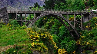
Edith Cavell Bridge is a bridge over the Shotover River in the Otago region in the South Island of New Zealand that stands at 47.8 metres (157 ft) tall. It is registered by Heritage New Zealand as a Category I heritage structure.
5. Mount Cardrona
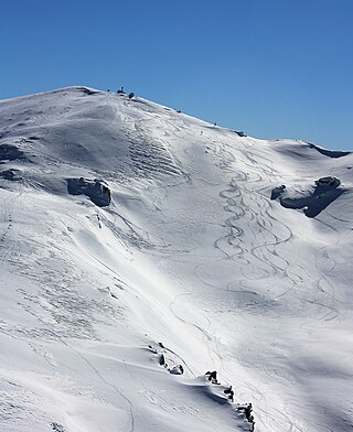
Mount Cardrona in Central Otago, New Zealand is 1,936 metres high, and is most easily accessed from the Cardrona Ski Field. Mount Cardrona is in the Crown Range between Wānaka and Queenstown. The often photographed and historic Cardrona Hotel is located at the bottom of the access road that leads up to the Cardrona ski field.
6. Mount Alfred
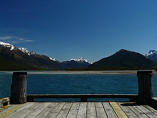
Mount Alfred is a hill in Otago, New Zealand, that was formed by glaciers during the last ice age. It is the prominent hill due north from Glenorchy located between the Dart River / Te Awa Whakatipu and Rees River located in the Queenstown-Lakes District.
Share
How likely are you to recommend us?
Disclaimer Please be aware of your surroundings and do not enter private property. We are not liable for any damages that occur during the tours.
