6 Sights in Yuzawa, Japan (with Map and Images)
Legend
Welcome to your journey through the most beautiful sights in Yuzawa, Japan! Whether you want to discover the city's historical treasures or experience its modern highlights, you'll find everything your heart desires here. Be inspired by our selection and plan your unforgettable adventure in Yuzawa. Dive into the diversity of this fascinating city and discover everything it has to offer.
1. Mt. Saburyu
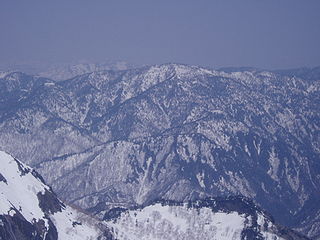
Mt. Saburuyama is a mountain with an altitude of 2,191.5 meters located on the border between Sakae Village, Shimizunai District, Nagano Prefecture and Yuzawa Town, Minamiuonuma District, Niigata Prefecture.
2. Kawarage Oyutaki
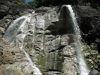
Kawawarage Oyutaki is a wild hot spring in Yuzawa City, Akita Prefecture. The hot springs that spring upstream merge with the stream water and flow down from a height of about 20 meters, which is rare in Japan. The waterfall basin is a natural open-air bath with a moderate temperature. The optimum temperature is from early July to late September. There is a Kawahara Hair Hell nearby.
3. Mt. Tairappyo
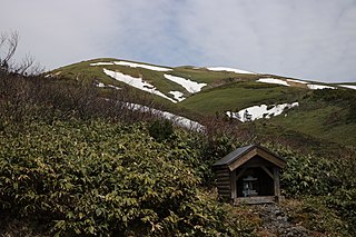
Mt. Hirapyōyama is a mountain with an altitude of 1,983.8 meters located between the town of Yuzawa in Minamiuonuma District, Niigata Prefecture and the town of Minakami in Tone District, Gunma Prefecture.
4. Mt. Sennokura
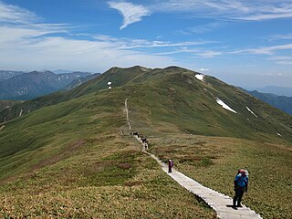
Sennokurayama is a mountain that straddles the town of Minakami in Tone District, Gunma Prefecture and the town of Yuzawa in Minamiuonuma District, Niigata Prefecture. At an altitude of 2,026m, it is the highest peak of the Tanigawa mountain range (between Shimizu Pass ~ Mikuni Pass), and a second-class triangular point is placed.
5. Mt. Takamatsu
Takamatsudake is a mountain located in Yuzawa City, Akita Prefecture, Japan. It is a relatively new volcano that erupted in the Quaternary period, located 16 km west of Mt. Kurikoma. Together, the neighboring Mt. Koyasu and Mt. Yamabushi are called the "Three Mountains of Mud."
6. 七ッ小屋山
Nanatsugoyayama is a mountain located in Yuzawa Town, Minamiuonuma District, Niigata Prefecture and Minakami Town, Tone District, Gunma Prefecture, with an altitude of 1,674.7 meters. It is also a "Gunma Prefectural Border Ridgeline Trail" Tanigawadake and a horseshoe-shaped traversal course.
Share
How likely are you to recommend us?
Disclaimer Please be aware of your surroundings and do not enter private property. We are not liable for any damages that occur during the tours.
