14 Sights in Putre, Chile (with Map and Images)
Legend
Welcome to your journey through the most beautiful sights in Putre, Chile! Whether you want to discover the city's historical treasures or experience its modern highlights, you'll find everything your heart desires here. Be inspired by our selection and plan your unforgettable adventure in Putre. Dive into the diversity of this fascinating city and discover everything it has to offer.
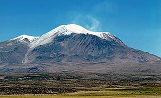
1. Volcán Guallatiri
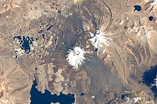
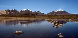
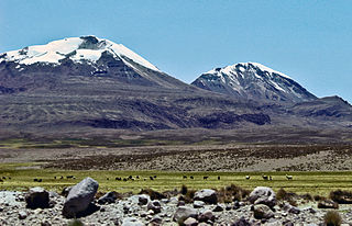
Guallatiri is a volcano in Chile with an elevation of 6,060 to 6,071 m. It is located southwest of the Nevados de Quimsachata volcanic group; some sources classify Guallatiri as a member. Guallatiri is a stratovolcano with numerous fumaroles around the summit. The summit may be a lava dome or volcanic plug, while the lower flanks of the volcano are covered by lava flows and lava domes. The volcano's eruptions have produced mostly dacite along with andesite and rhyolite. Past glaciation has left moraines on Guallatiri.
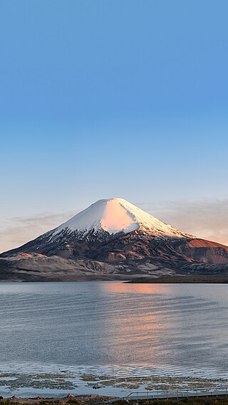
2. Volcán Parinacota
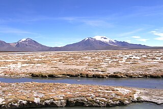
Parinacota, Parina Quta or Parinaquta is a dormant stratovolcano on the border of Bolivia and Chile. Together with Pomerape it forms the Nevados de Payachata volcanic chain. Part of the Central Volcanic Zone of the Andes, its summit reaches an elevation of 6,380 metres (20,930 ft) above sea level. The symmetrical cone is capped by a summit crater with widths of 1 kilometre (0.62 mi) or 1,000 metres (3,300 ft). Farther down on the southern slopes lie three parasitic centres known as the Ajata cones. These cones have generated lava flows. The volcano overlies a platform formed by lava domes and andesitic lava flows.
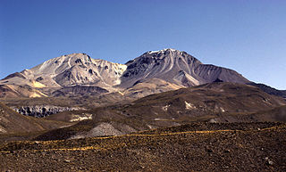
3. Volcán Taapacá
Taapaca is a Holocene volcanic complex in northern Chile's Arica y Parinacota Region. Located in the Chilean Andes, it is part of the Central Volcanic Zone of the Andean Volcanic Belt, one of four distinct volcanic chains in South America. The town of Putre lies at the southwestern foot of the volcano.
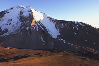
4. Volcán Pomerape
Pomerape is a stratovolcano lying on the border of northern Chile and Bolivia. It is part of the Payachata complex of volcanoes, together with Parinacota Volcano to the south. The name "Payachata" means "twins" and refers to their appearance. It hosts glaciers down to elevations of 5,300–5,800 metres (17,400–19,000 ft), lower on the northern slope.
5. Volcán Puquintica
Pukintika is a volcano in the Andes, about 5,407 m (17,740 ft) high, situated in the Cordillera Occidental on the border of Bolivia and Chile. It is located in the Arica and Parinacota Region of Chile and the Oruro Department of Bolivia. Pukintika lies to the north of the Salar de Surire, east beside Arintika volcano which is younger than Pukintika. Pukintika also features a crater lake with a surface area of 2,500 square metres (27,000 sq ft). Deposits of elemental sulfur have been found on Pukintika.
6. Iglesia de Mulluri
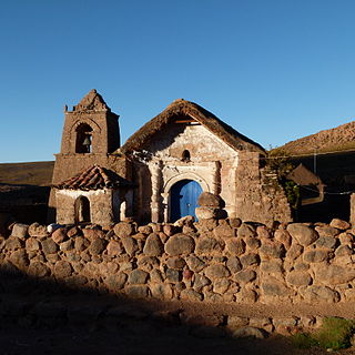
The church of Mulluri is located in the town of Mulluri in the region of Arica and Parinacota, Chile. It was built at the end of the nineteenth century and has a style between Andean baroque and neoclassical. It was declared a National Monument of Chile, in the category of Historical Monument, by Exempt Decree No. 1778, of November 24, 2005.
7. Iglesia de Socoroma
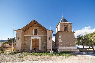
The church of San Francisco de Asís de Socoroma is located in the town of Socoroma in the region of Arica and Parinacota, Chile. It was built in the mid-sixteenth century and restored in 2013. It has an Andean baroque style with neoclassical-republican details. It was declared a National Monument of Chile, in the category of Historical Monument, by Exempt Decree No. 1902, of December 21, 2005.
8. Laram Q'awa
Laram Q'awa is a 5,182-metre-high (17,001 ft) mountain in the Andes. According to the Bolivian IGM map 1:50,000 'Nevados Payachata Hoja 5739-I' it is situated on Bolivian terrain in the La Paz Department, Pacajes Province, at the border with Chile. It lies north-west of the mountains Kunturiri, Phaq'u Q'awa and another mountain on the border named Laram Q'awa (Laram Khaua). One of three different rivers of this area called Kunturiri (Condoriri) originates north-east of the mountain near Phaq'u Q'awa. It flows in a bow along the northern slopes of Laram Q'awa towards Chile.
9. Uqi Uqini
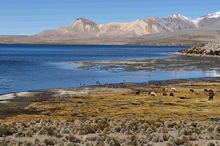
Uqi Uqini is a 5,532-metre-high (18,150 ft) volcano in the Andes. It is situated in the Cordillera Occidental on the border of Bolivia and Chile. Uqi Uqini is located in the Arica and Parinacota Region of Chile and in the Oruro Department of Bolivia, in the Sajama Province, Turku Municipality, Chachakumani Canton. Uqi Uqini lies south of National Route 4 near the Chungara-Tambo Quemado pass and north of Umurata, Acotango and Capurata.
10. Cerro Umurata
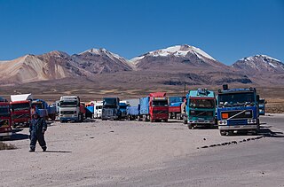
Umurata is a mountain in the Andes, about 5,717 m (18,757 ft) high, situated in the Cordillera Occidental on the border of Bolivia and Chile. It is located in the Arica and Parinacota Region of Chile and in the Oruro Department of Bolivia, in the Sajama Province, Turku Municipality, Chachakumani Canton. Umurata lies south of the Uqi Uqini volcano, north of the Acotango and north-east of the Wallatiri volcano. Argon-argon dating has yielded ages of 970,000±120,000 for Umurata rocks. Umurata is situated south of National Route 4 near the Chungara-Tambo Quemado pass.
11. Qullqi Warani
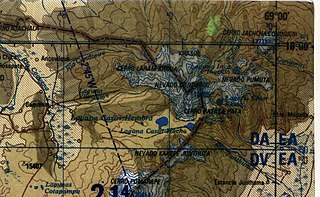
Qullqi Warani is a mountain in the Oruro Department in Bolivia at the border with Chile, north-west of the extinct Sajama volcano. It is situated in the Sajama Province, in the west of the Curahuara de Carangas Municipality. According to the Bolivian IGM map 1:50,000 'Nevados Payachata Hoja 5739-I' it lies entirely on Bolivian terrain. Qullqi Warani lies south-west of the mountains Jisk'a Kunturiri and Patilla Pata, north of Phaq'u Q'awa and south-east of Kunturiri. The little lakes Q'asiri Quta (Khasiri Kkota) and Sura Pata (Sora Pata, Sorapata) lie at its feet, east and north of it.
12. Volcán Capurata
Cerro Elena Capurata or Cerro Capurata is a stratovolcano in the Andes of Bolivia and Chile. It has an official altitude of 5990 meters, although two different expeditions record altitudes above 6000 meters using normal GPS devices.
13. Kunturiri
Kunturiri is a volcano in the Andes on the border of Bolivia and Chile which rises up to 5,762 metres (18,904 ft). On the Chilean side it is located in the Arica and Parinacota Region and on the Bolivian side in the Oruro Department, Sajama Province, Curahuara de Carangas Municipality, Sajama Canton as well as in the La Paz Department, Pacajes Province, Calacoto Municipality, Ulloma Canton.
14. Cerro Acotango
Cerro Acotango is a stratovolcano located on the border of Bolivia and Chile, between the department of Oruro and the region of Arica and Parinacota. It is one of the three summits that make up the Nevado Quimsachata.
Share
How likely are you to recommend us?
Disclaimer Please be aware of your surroundings and do not enter private property. We are not liable for any damages that occur during the tours.
