6 Sights in Altaussee, Austria (with Map and Images)
Legend
Welcome to your journey through the most beautiful sights in Altaussee, Austria! Whether you want to discover the city's historical treasures or experience its modern highlights, you'll find everything your heart desires here. Be inspired by our selection and plan your unforgettable adventure in Altaussee. Dive into the diversity of this fascinating city and discover everything it has to offer.
1. Sandling
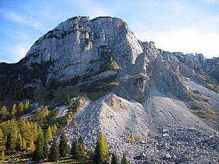
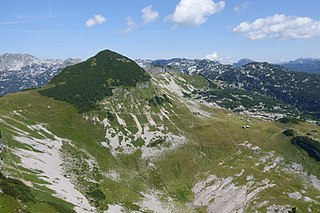
The Sandling is a 1717 m high, solitary mountain on the southwestern edge of the Totes Gebirge. The mountain range is located in the Ausseerland in the Styrian Salzkammergut region, just on the border with Upper Austria and contains the largest salt deposits in Austria.
2. Kath. Pfarrkirche St. Ägid
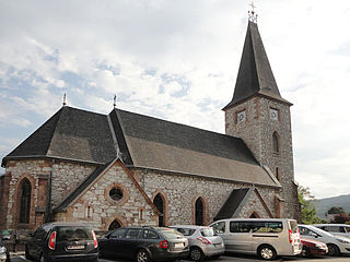
The Roman Catholic parish church of Altaussee is located in the centre of Altaussee in the district of Liezen in the province of Styria. It is dedicated to St. Egidius. The parishes of Grundlsee and Bad Aussee form a parish association in the deanery of Oberes Ennstal – Styrian Salzkammergut in the diocese of Graz-Seckau. The church is a listed building (list entry).
3. Bräuningzinken
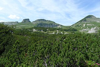
The Bräuningzinken is a 1899 m high peak in the Ausseerland in Styria, Austria. It forms the highest elevation of the Augstkamm in the Totes Gebirge and lies northeast of the striking Loser summit massif. To the northwest, the mountain, which is made up of Tressenstein limestone of the Upper Jurassic, is characterized by the steep drop to the Gschwandalm and the Rettenbach valley. To the east, the summit flank, overgrown with mountain pines, towers over the Bräuningalm. Northeast of the summit, a rough ridge, in which the Bräuningscharte forms a deep incision, continues to the Bräuningnase.
4. Greimuth
The Greimuth is a 1871 m high peak in the Ausseerland in Styria. After the Bräuningzinken, it forms the second highest elevation of the Augstkamm in the Totes Gebirge and lies between the Bräuningzinken in the north and the Hochanger or Loser in the south. To the west, the mountain, which is made of Tressenstein limestone from the Upper Jurassic, is characterised by the steep cliff to the Gschwandalm and the Rettenbach valley. To the east, the striking Atterkogel is located in front of Greimuth, which is inconspicuous from here.
5. Atterkogel
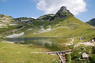
The Atterkogel is a 1826 m high peak in the Ausseerland in Styria, Austria. Above the Augstsee, it forms a striking Rock pyramid in the Totes Gebirge. The mountain, which is built up of Tressenstein limestone of the Upper Jurassic, drops steeply to the south towards Lake Augst. To the north, an equally steep drop points to the giant doline of the Kuhntal. Towards the west, an only slightly pronounced saddle forms the transition to the higher Greimuth.
6. Unsinni Kirra
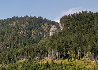
The Unsinni Kirra is a 60-metre-high free-standing rock tower in the ditch of the Michlhallbach in the municipality of Altaussee. It is located about 50 metres east of the path from the Waldgraben to the Vordersandlingalm in the Totes Gebirge.
Share
How likely are you to recommend us?
Disclaimer Please be aware of your surroundings and do not enter private property. We are not liable for any damages that occur during the tours.
