Self-guided Sightseeing Tour #1 in Wiesenttal, Germany
Legend
Tour Facts
0.9 km
92 m
Experience Wiesenttal in Germany in a whole new way with our self-guided sightseeing tour. This site not only offers you practical information and insider tips, but also a rich variety of activities and sights you shouldn't miss. Whether you love art and culture, want to explore historical sites or simply want to experience the vibrant atmosphere of a lively city - you'll find everything you need for your personal adventure here.
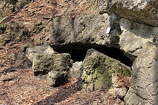
Individual Sights in WiesenttalSight 1: Witzenhöhle
The Witzenhöhle is a natural karst cave near Muggendorf, a part of the Upper Franconian municipality of Wiesenttal in the district of Forchheim in Bavaria.
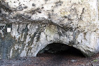
Sight 2: Wundershöhle
The Wundershöhle is a natural karst cave near Muggendorf, a part of the Upper Franconian municipality of Wiesenttal in the district of Forchheim in Bavaria.
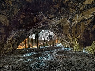
Sight 3: Oswaldhöhle
The Oswald Cave is a natural karst cave near Muggendorf, a part of the Upper Franconian municipality of Wiesenttal in the district of Forchheim in Bavaria, Germany.
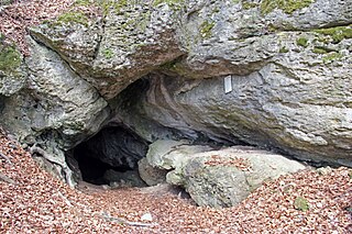
Sight 4: Doktorshöhle
The Doktorshöhle is a natural karst cave near Muggendorf, a part of the Upper Franconian municipality of Wiesenttal in the district of Forchheim in Bavaria.
Sight 5: Hohler Berg
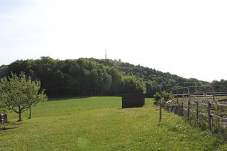
The hollow mountain, also referred to as a high cross, is a 522.6 m above sea level. NHN Hoher Berg north of the Wiesenttal between the Wiesenttal municipal parts Muggendorf and Engelhardsberg. At the highest point of the mountain is a hexagonal steel wooden tower, which was built on April 15, 2011 and was inaugurated on April 15, 2011. This was built as a replacement for an older tower. There is also a mobile phone mast near the summit.
Share
Disclaimer Please be aware of your surroundings and do not enter private property. We are not liable for any damages that occur during the tours.
GPX-Download For navigation apps and GPS devices you can download the tour as a GPX file.
